Corinth in Alcorn County, Mississippi — The American South (East South Central)
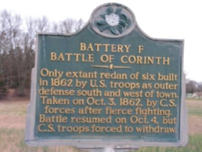
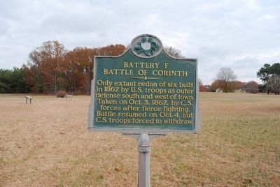
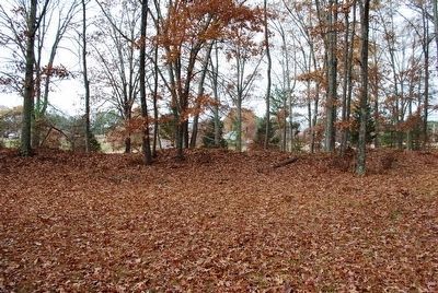
Battery F
Battle of Corinth
Erected by Mississippi Department of Archives and History.
Topics and series. This historical marker is listed in this topic list: War, US Civil. In addition, it is included in the Mississippi State Historical Marker Program series list. A significant historical year for this entry is 1862.
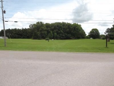
Location. Marker has been reported missing. It was located near 34° 56.875′ N, 88° 33.15′ W. Marker was in Corinth, Mississippi, in Alcorn County. Marker was at the intersection of Bitner Road and Scenic Lake Drive, on the right when traveling north on Bitner Road. Touch for map. Marker was in this post office area: Corinth MS 38834, United States of America. Touch for directions.
Other nearby markers. At least 8 other markers are within 2 miles of this location, measured as the crow flies. Battle of Corinth Battery F (here, next to this marker); Retreat From Battery F (a few steps from this marker); City Cemetery (approx. 1.4 miles away); Texas Memorial (approx. 1˝ miles away); William P. Rogers (approx. 1˝ miles away); Brigadier-General Joseph Lewis Hogg (approx. 1˝ miles away); Battle of Corinth - 1862 (approx. 1.7 miles away); Henry Cemetery (approx. 1.8 miles away). Touch for a list and map of all markers in Corinth.
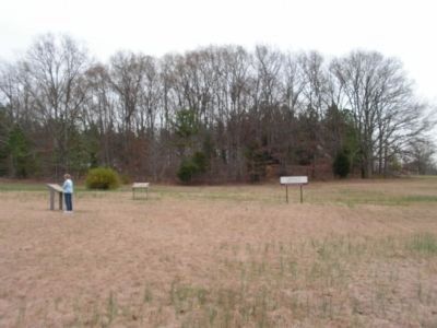
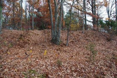
More about this marker. marker is in the field west of the actual site.
Credits. This page was last revised on June 16, 2016. It was originally submitted on December 10, 2009, by Lee Hattabaugh of Capshaw, Alabama. This page has been viewed 1,550 times since then and 14 times this year. Last updated on July 10, 2013, by Ken Smith of Milan, Tennessee. Photos: 1. submitted on December 10, 2009, by Lee Hattabaugh of Capshaw, Alabama. 2. submitted on September 25, 2015, by Brandon Fletcher of Chattanooga, Tennessee. 3. submitted on December 10, 2009, by Lee Hattabaugh of Capshaw, Alabama. 4, 5. submitted on September 25, 2015, by Brandon Fletcher of Chattanooga, Tennessee. 6. submitted on July 10, 2013, by Ken Smith of Milan, Tennessee. • Bill Pfingsten was the editor who published this page.
