North Mankato in Nicollet County, Minnesota — The American Midwest (Upper Plains)
Geology of Minnesota
Mankato Region
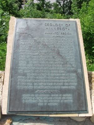
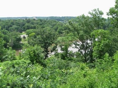
This marker is located near the big bend of the Minnesota River directly opposite the mouth of the Blue Earth River. The abandoned channel east of it is the former course of the LeSueur before it joined the Blue Earth. Most of the broad valley of the Minnesota was carved out of bedrock prior to the last glacier which came from the northwest and partially filled the valley with debris. After the glacier melted, the river re-established itself in the old valley. The name "Glacial River Warren" is applied to the stage when it carried enormous volumes of meltwater from Glacial Lake Agassiz which for a long time occupied the Red River Valley region.
The rocks exposed in this road cut are from bottom to top – Jordan sandstone, Blue Earth siltstone, Oneota dolomite (Mankato quarry rock) and glacial drift of two ages. The lowest rock is about 500 million years old and the upper drift at least 10,000 years.
Erected by the Geological Society of Minnesota
In memory of Alger R. Syme, past president and mentor
in cooperation with the Department of Highways
State of Minnesota
Erected by the Geological Society of Minnesota.
Topics and series. This historical marker is listed in this topic list: Natural Features . In addition, it is included in the Minnesota: Geological Society of Minnesota series list.
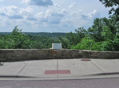
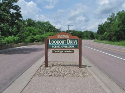
Location. 44° 9.914′ N, 94° 2.235′ W. Marker is in North Mankato, Minnesota, in Nicollet County. Marker is on Lookout Drive, 1.1 miles west of U.S. 169, on the left when traveling west. Marker is at Lookout Drive Scenic Overlook. Touch for map. Marker is in this post office area: Mankato MN 56003, United States of America. Touch for directions.
Other nearby markers. At least 8 other markers are within 2 miles of this marker, measured as the crow flies. Ott Cabin (approx. ¼ mile away); The First Mahkato Memorial Wacipi (approx. 0.3 miles away); Sibley Park (approx. 0.4 miles away); Sibley Park World War I (approx. half a mile away); Ho-Chunk / Winnebago (approx. 1.3 miles away); The Lorin & Lulu Cray Home (approx. 1.6 miles away); Lincoln Park (approx. 1.6 miles away); Civil War Monument (approx. 1.6 miles away).
Also see . . .
1. Minnesota River. Wikipedia entry. (Submitted on July 14, 2013.)
2. Blue Earth River. Wikipedia entry. (Submitted on July 14, 2013.)
3. Glacial River Warren. Wikipedia entry. (Submitted on July 14, 2013.)
Credits. This page was last revised on June 16, 2016. It was originally submitted on July 14, 2013, by Keith L of Wisconsin Rapids, Wisconsin. This page has been viewed 812 times since then and 20 times this year. Photos: 1, 2, 3, 4. submitted on July 14, 2013, by Keith L of Wisconsin Rapids, Wisconsin.


