Mosherville in Hillsdale County, Michigan — The American Midwest (Great Lakes)
Mosherville Church / Mosherville School
(Obverse Side)
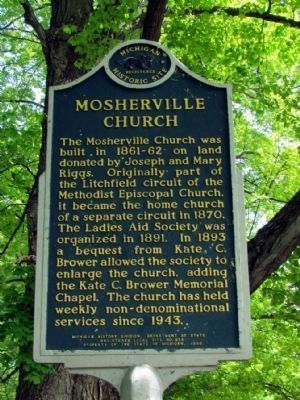
Mosherville Church
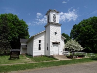
The Mosherville Church was built in 1861-62 on land donated by Joseph and Mary Riggs. Originally part of the Litchfield circuit of the Methodist Episcopal Church, it became the home church of a separate circuit in 1870. The Ladies Aid Society was organized in 1891. In 1893 a bequest from Kate C. Brower allowed the society to enlarge the church, adding the Kate C. Brower Memorial Chapel. The church has held weekly non-denominational services since 1943.
(Reverse Side)
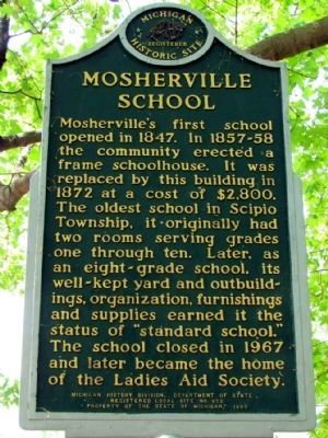
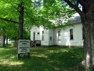
Mosherville School
Mosherville's first school opened in 1847. In 1857-58 the community erected a frame schoolhouse. It was replaced by this building in 1872 at a cost of $2,800. The oldest school in Scipio Township, it originally had two rooms serving grades one through ten. Later, as an eight-grade school, its well-kept yard and outbuildings, organization, furnishings and supplies earned it the status of "standard school." The school closed in 1967 and later became the home of the Ladies Aid Society.
Erected 1980 by Michigan History Division, Michigan Department of State. (Marker Number L653A.)
Topics and series. This historical marker is listed in these topic lists: Churches & Religion • Education. In addition, it is included in the Michigan Historical Commission series list. A significant historical year for this entry is 1870.
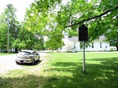
Location. 42° 3.69′ N, 84° 39.511′ W. Marker is in Mosherville, Michigan, in Hillsdale County. Marker is at the intersection of North Street and Winfield Road, on the right when traveling west on North Street. Touch for map. Marker is in this post office area: Jonesville MI 49250, United States of America. Touch for directions.
Other nearby markers. At least 8 other markers are within 6 miles of this marker, measured as the crow flies. Wayside Memorial Park (approx. 4.4 miles away); Litchfield World War II Memorial (approx. 4.4 miles away); Father Gabriel Richard (approx. 4.7 miles away); Jonesville Veterans Memorial (approx. 5.1 miles away); Congregational Church of Litchfield (approx. 5.2 miles away); Robert Benjamin (approx. 5.2 miles away); Rose Hartwick Thorpe (approx. 5.3 miles away); Grand Army Of The Republic Civil War Memorial (approx. 5.3 miles away).
Credits. This page was last revised on June 16, 2016. It was originally submitted on July 17, 2013, by Duane Hall of Abilene, Texas. This page has been viewed 656 times since then and 49 times this year. Photos: 1, 2, 3, 4, 5. submitted on July 17, 2013, by Duane Hall of Abilene, Texas. • Bernard Fisher was the editor who published this page.
