Near Sharpsburg in Washington County, Maryland — The American Northeast (Mid-Atlantic)
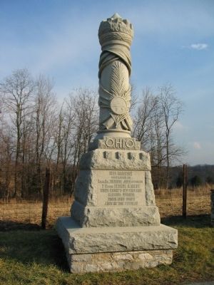
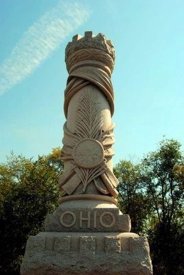
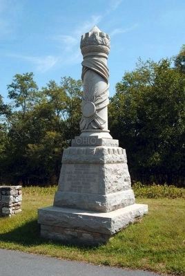
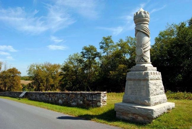
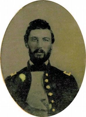
30th Ohio Volunteer Infantry
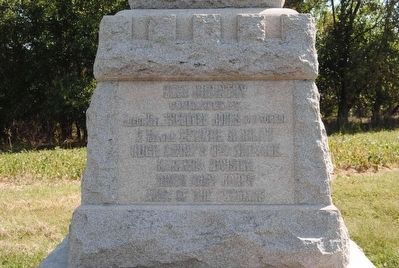
(Front Inscription):
30th Infantry
Commanded by
Lieut. Col. Theodore Jones (captured)
Major George H. Hildt
Hugh Ewing's (1st) Brigade
Kanawha Division
Ninth Army Corps
Army of the Potomac
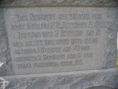
(Rear Inscription):
This Regiment was engaged here about 5 o'clock P.M. September 17, 1862. Its loss was 3 officers and 10 men killed, including both color bearers; 1 officer and 48 men wounded; 2 officers and 15 men taken prisoners; total 80.
Erected 1903 by State of Ohio.
Topics. This historical marker is listed in this topic list: War, US Civil. A significant historical date for this entry is September 17, 1862.
Location. 39° 26.93′ N, 77° 44.453′ W. Marker is near Sharpsburg, Maryland, in Washington County. Marker is on Branch Avenue, on the left when traveling south. Touch for map. Marker is in this post office area: Sharpsburg MD 21782, United States of America. Touch for directions.
Other nearby markers. At least 8 other markers are within walking distance of this marker. Archer's Brigade (a few steps from this marker); Ninth Army Corps (within shouting distance of this marker); Rodman's Division, Ninth Army Corps (about 300 feet away, measured in a direct line); Brigadier General L. O'B. Branch (about 300 feet away); a different marker also named Ninth Army Corps (about 400 feet away); Battery E, 4th U.S. Artillery (about 400 feet away); Battery E, 2nd U.S. Artillery (about 400 feet away); Battery G, 4th U.S. Artillery (about 400 feet away). Touch for a list and map of all markers in Sharpsburg.
Also see . . . 30th Ohio Volunteer Infantry Monument. National Park Service page detailing the monument. (Submitted on March 27, 2008, by Craig Swain of Leesburg, Virginia.)
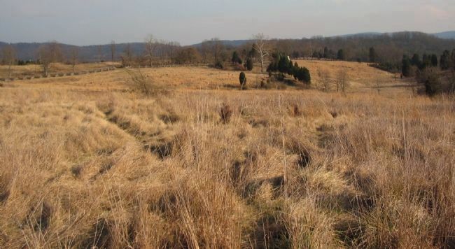
Photographed By Craig Swain, February 9, 2008
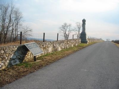
10. The 30th Ohio's Advance and Retreat
Looking east from Branch Avenue, about where the 23th Ohio Infantry Monument stands. Both the 23th and 30th advanced from positions on the other side of the ridge line in the distance (with the snake rail fence seen on the open slopes), close to the Burnside Bridge. The 30th advanced across the low round about half way across this opening and dressed along a stone wall to the south (out of frame to the right). Later, after 5 p.m., the regiment fell back across the same ground when pressed by several Confederate brigades.
Credits. This page was last revised on September 21, 2017. It was originally submitted on March 27, 2008, by Craig Swain of Leesburg, Virginia. This page has been viewed 1,270 times since then and 26 times this year. Photos: 1. submitted on March 27, 2008, by Craig Swain of Leesburg, Virginia. 2. submitted on March 31, 2008, by Craig Swain of Leesburg, Virginia. 3, 4, 5. submitted on October 11, 2015, by Brian Scott of Anderson, South Carolina. 6. submitted on March 27, 2008, by Craig Swain of Leesburg, Virginia. 7, 8, 9. submitted on October 11, 2015, by Brian Scott of Anderson, South Carolina. 10. submitted on March 27, 2008, by Craig Swain of Leesburg, Virginia.
