Hampton Roads Center , Virginia — The American South (Mid-Atlantic)
Battle of Big Bethel
Protecting the Peninsula
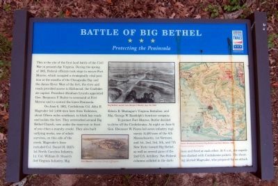
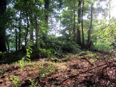
On June 6, 1861, Confederate Col. John B. Magruder led 1,404 men here from Yorktown, about fifteen miles southeast, to block key roads and isolate the fort. They entrenched around Big Bethel Church, now under the reservoir in front of you (then a marshy creek). They also built outlying works, one of which survives, on this side of the creek. Magruder’s force included Col. Daniel H. Hill’s 1st North Carolina Infantry, Lt. Col. William D. Stuart’s 3rd Virginia Infantry, Maj. Edwin B. Montague’s Virginia Battalion, and Maj. George W. Randolph’s howitzer company.
To protect Fort Monroe, Butler decided to drive off the Confederates. At night, on June 9, Gen. Ebenezer W. Pierce led seven infantry regiments (4,400 men of the 4th Massachusetts, 1st Vermont, and 1st, 2nd, 3rd, 5th, and 7th New York) toward Big Bethel, as well as several guns of the 2nd U.S. Artillery. Two Federal columns collided in the darkness and fired at each other. At 8 A.M., the expedition clashed with Confederate pickets. The shooting alerted Magruder, who prepared for an attack.
(captions)
Fort Monroe – Courtesy Library of Congress
Big Bethel, aerial view, Harper’s Weekly, Apr. 26, 1862
Lower Peninsula between Big Bethel and Fort Monroe, 1862 Courtesy Library of Congress
Erected 2012 by Virginia Civil War Trails. (Marker Number 1.)
Topics and series. This historical marker is listed in this topic list: War, US Civil. In addition, it is included in the Virginia Civil War Trails series list. A significant historical date for this entry is June 6, 1861.
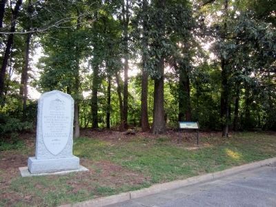
Location. 37° 5.491′ N, 76° 25.567′ W. Marker is in Hampton, Virginia. It is in Hampton Roads Center. Marker can be reached from Big Bethel Road, 0.1 miles north of Semple Farm Road, on the left when traveling north. Located in Bethel Park. Touch for map. Marker is in this post office area: Hampton VA 23666, United States of America. Touch for directions.
Other nearby markers. At least 8 other markers are within walking distance of this marker. A different marker also named Battle of Big Bethel (here, next to this marker); a different marker also named Battle of Big Bethel (a few steps from this marker); Battle of Big Bethel Union Monument (a few steps from this marker); a different marker also named Battle of Big Bethel (a few steps from this marker); a different marker also named Battle of Big Bethel (a few steps from this marker); a different marker also named Battle of Big Bethel (within shouting distance of this marker); a different marker also named Battle of Big Bethel (within shouting distance of this marker); a different marker also named Battle of Big Bethel (within shouting distance of this marker). Touch for a list and map of all markers in Hampton.
Credits. This page was last revised on February 1, 2023. It was originally submitted on July 21, 2013, by Bernard Fisher of Richmond, Virginia. This page has been viewed 1,054 times since then and 37 times this year. Photos: 1, 2, 3. submitted on July 21, 2013, by Bernard Fisher of Richmond, Virginia.


