Nebraska City in Otoe County, Nebraska — The American Midwest (Upper Plains)
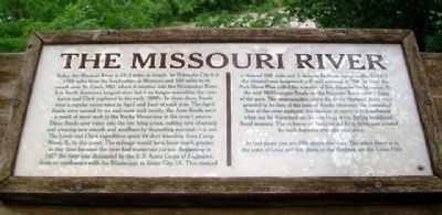
The Missouri River
Today, the Missouri River is 2315 miles in length. At Nebraska City it is 1755 miles from the headwaters in Montana and 560 miles to its mouth near St. Louis, MO. where it empties into the Mississippi River. It is North America's longest river but it no longer resembles the river Lewis and Clark explored in the early 1800's. In those days, floods were a regular occurrence in April and June of each year. The April floods were caused by ice and snow melt locally, the June floods were a result of snow melt in the Rocky Mountains at the river's source. These floods sent water into the low lying areas, cutting new channels and creating new islands and sandbars by depositing nutrient rich soil.
The Lewis and Clark expedition spent 64 days traveling from Camp Wood, IL. to this point. The mileage would have been much greater at that time because the river had numerous curves. Beginning in 1927 the river was channeled by the U.S. Army Corps of Engineers from its confluence with the Mississippi to Sioux City, IA. This created a channel 200' wide and 6' deep to facilitate barge traffic. In 1944 the Pick-Sloan Plan called for a series of five dams on the Missouri. By the mid 1960's major floods on the Missouri River were a thing of the past. The communities along the lower Missouri River were grateful to be free of the annual floods. However, the controlled flow of the river reduced the amount of nutrient rich sediment [t]hat can be deposited on the low lying areas during traditional flood seasons. The richness of bottomland farm fields was created by such deposits over the centuries.
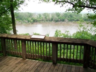
At this point you are 190 feet above the river. The other shore is in the state of Iowa and the bluffs in the distance are the Loess Hills.
Topics and series. This historical marker is listed in these topic lists: Environment • Exploration • Industry & Commerce • Waterways & Vessels. In addition, it is included in the Lewis & Clark Expedition series list.
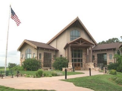
Location. 40° 40.064′ N, 95° 49.77′ W. Marker is in Nebraska City, Nebraska, in Otoe County. Marker is on the overlook platform at the end of the River Overlook Trail, which begins at the Lewis & Clark Missouri River Basin Visitors Center. Touch for map. Marker is at or near this postal address: 100 Valmont Drive, Nebraska City NE 68410, United States of America. Touch for directions.
Other nearby markers. At least 8 other markers are within 2 miles of this marker, measured as the crow flies. Earth Lodge Villages (about 700 feet away, measured in a direct line); Barge / Keelboat (replica) (about 700 feet away); Hunter, Watchdog and Faithful Friend (about 700 feet away); Steam Wagon (approx. 1.2 miles away); St. Mary's (approx. 1˝ miles away); Grand Army of the Republic Memorial Hall (approx. 1˝ miles away); First United Methodist Church Original 1855 Wall (approx. 1.7 miles away); Mother Church of Methodism in Nebraska (approx. 1.7 miles away). Touch for a list and map of all markers in Nebraska City.
Also see . . .
1. The Lewis & Clark Missouri River Basin Visitors Center, Nebraska City NE. Center website homepage; 12/30/2021 LPG. (Submitted on July 23, 2013, by William Fischer, Jr. of Scranton, Pennsylvania.)
2. Lewis & Clark National Historic Trail. National Park Service website entry (Submitted on July 23, 2013, by William Fischer, Jr. of Scranton, Pennsylvania.)
3. US Army Corps of Engineers Missouri River Basin Water Management. (Submitted on July 23, 2013, by William Fischer, Jr. of Scranton, Pennsylvania.)
Credits. This page was last revised on December 30, 2021. It was originally submitted on July 23, 2013, by William Fischer, Jr. of Scranton, Pennsylvania. This page has been viewed 642 times since then and 20 times this year. Photos: 1, 2, 3. submitted on July 23, 2013, by William Fischer, Jr. of Scranton, Pennsylvania.


