Near Lander in Fremont County, Wyoming — The American West (Mountains)
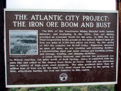
The Atlantic City Project
The Iron Ore Boom and Bust
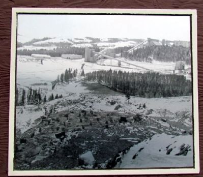
A Union Pacific Railroad spur carried the processed ore to Winton Junction, ten miles north of Rock Springs, where it connected with the main line and rolled to the Geneva Steel Works in Provo, Utah and was converted into a variety of high-grade steel products. The mine produced more than 90 million tons of iron ore by the time U.S. Steel closed the mine in the spring of 1984, effectively busting the iron ore industry in this region.
Erected by Wyoming Historic Mine Trail and Byway System.
Topics. This historical marker is listed in these topic lists: Industry & Commerce • Natural Resources. A significant historical year for this entry is 1960.
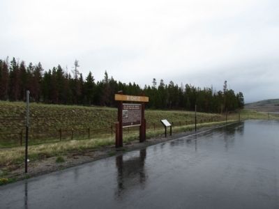
Location. 42° 31.505′ N, 108° 45.545′ W. Marker is near Lander, Wyoming , in Fremont County. Marker is on State Highway 28, 1.1 miles north of Louis Lake Road, on the right when traveling south. Touch for map. Marker is in this post office area: Lander WY 82520, United States of America. Touch for directions.
Other nearby markers. At least 8 other markers are within 4 miles of this marker, measured as the crow flies. Gold Flakes to Yellowcake Historic Mine Trail (here, next to this marker); Rock Creek (within shouting distance of this marker); Fort Stambaugh, 1870-1878 (approx. 1.9 miles away); Miners Delight: The Boom’s Broken Promises (approx. 2 miles away); Atlantic City: Surviving the Bust (approx. 2½ miles away); South Pass and South Pass City (approx. 3.4 miles away); The Carissa Mine: Cycle of Boom and Bust (approx. 4 miles away); South Pass City: Wyoming’s Biggest Gold Boom and Bust (approx. 4 miles away). Touch for a list and map of all markers in Lander.
Credits. This page was last revised on September 18, 2020. It was originally submitted on July 25, 2013, by Duane Hall of Abilene, Texas. This page has been viewed 1,029 times since then and 84 times this year. Photos: 1, 2, 3. submitted on July 25, 2013, by Duane Hall of Abilene, Texas. • Syd Whittle was the editor who published this page.


