Aripeka in Pasco County, Florida — The American South (South Atlantic)
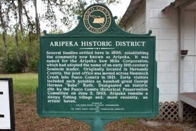
Aripeka Historic District
Erected 1993 by Pasco Board of County Commissioners and the Pasco County Historical Preservation Committee.
Topics. This historical marker is listed in this topic list: Settlements & Settlers. A significant historical month for this entry is June 1877.
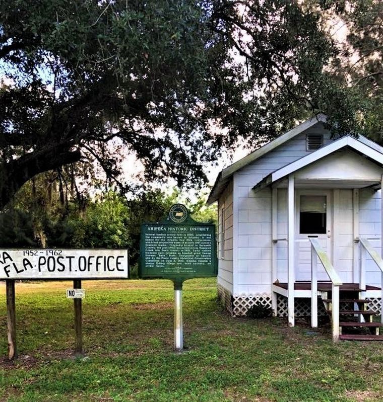
Location. 28° 25.944′ N, 82° 39.936′ W. Marker is in Aripeka, Florida, in Pasco County. Marker is on Aripeka Road, on the left when traveling west. Marker is in front of the Aripeka Post Office. Touch for map. Marker is at or near this postal address: 18925 Aripeka Rd, Aripeka FL 34679, United States of America. Touch for directions.
Other nearby markers. At least 8 other markers are within 8 miles of this marker, measured as the crow flies. Veterans Memorial Flag Pole (approx. 2 miles away); Hudson Area Veterans Memorial (approx. 5 miles away); Hudson Cemetery (approx. 5 miles away); Vereen Methodist Episcopal Church, School and Cemetery (approx. 5.2 miles away); Bayport (approx. 7.1 miles away); The Bayport Area Before Human Occupation/Bayport's First People (approx. 7.2 miles away); Bayport's Early Historic Period/Post Civil War Era (approx. 7.2 miles away); Bayport in the Civil War/The Battle of Bayport (approx. 7.3 miles away).
Credits. This page was last revised on July 15, 2022. It was originally submitted on July 28, 2013, by Tim Fillmon of Webster, Florida. This page has been viewed 900 times since then and 38 times this year. Photos: 1. submitted on July 28, 2013, by Tim Fillmon of Webster, Florida. 2. submitted on November 6, 2019, by Janet Pratt of Spring Hill, Florida. • Bill Pfingsten was the editor who published this page.

