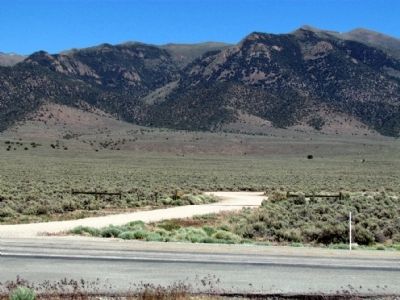
Near Fallon in Churchill County, Nevada — The American Mountains (Southwest)
Rock Creek
(Cold Springs Station)
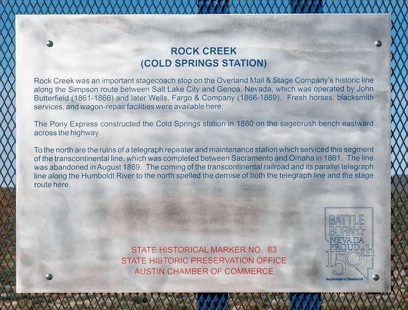
Replacement Marker
Rock Creek was an important stagecoach stop on the Overland Mail Stage Company's historic line along the Simpson route between Salt Lake City and Genoa, Nevada, which was operated by John Butterfield (1861-1866) and later Wells Fargo & Company (1866-1869). Fresh horses, blacksmith services, and wagon-repair facilities.
The Pony Express constructed the Cold Springs station in 1860 on the sagebrush bench eastward across the highway.
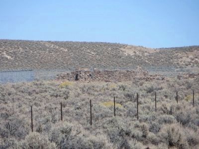
To the north are the ruins of a telegraph repeater and maintenance station which serviced this segment of the transcontinental line, which was completed between Sacramento and Omaha in 1861. The line was abandoned in August 1869. The coming of the transcontinental railroad and its parallel telegraph line along the Humboldt River to the north spelled the demise of both the telegraph line and the stage route here.
Original Marker
In its day, an important stagecoach stop on John Butterfield's (1861-1866) and Wells, Fargo & Company's (1866-1869) Overland Mail & Stage Company's historic line along the Simpson route between Salt Lake City and Genoa, Nevada. Fresh horses, blacksmith services, and wagon-repair facilities were available here.
The Pony Express Cold Springs station was constructed in 1860 on the sagebrush bench eastward across the highway.
To the north are the ruins of a telegraph repeater and maintenance station which serviced the segment of the Overland Telegraph--Pacific Telegraph Company's pioneer transcontinental line, which was completed between Sacramento and Omaha in 1861. The line was abandoned in August 1869. The coming of the transcontinental railroad and its parallel telegraph line along the Humboldt River to the north spelled the demise of both the telegraph line and the stage route here.
Erected by Division of Historic Preservation and Archaeology and Austin Chamber of Commerce. (Marker Number 83.)
Topics and series. This historical marker is listed in these topic lists: Communications • Roads & Vehicles. In addition, it is included in the Pony Express National Historic Trail series list. A significant historical year for this entry is 1860.
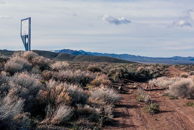
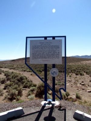
Location. 39° 23.543′ N, 117° 51.176′ W. Marker is near Fallon, Nevada, in Churchill County. Marker is on U.S. 50, 11 miles north of Nevada Route 722, on the left when traveling north. Touch for map. Marker is in this post office area: Fallon NV 89406, United States of America. Touch for directions.
Other nearby markers. At least 6 other markers are within 13 miles of this marker, measured as the crow flies. Central Overland Trail - Cold Springs Station (a few steps from this marker); The Pony Express (about 500 feet away, measured in a direct line); Wagon Jack Shelter (approx. 6.4 miles away); Edwards Creek Valley (approx. 11.7 miles away); Middlegate Station (approx. 11.8 miles away); Central Overland Trail - Westgate Station (approx. 12.8 miles away).
Also see . . . New Amended Text for Marker. The Nevada State Historic Preservation Office (SHPO) recently updated the text of the roughly 260 state historical markers in Nevada. The Nevada SHPO placed the amended text of each individual marker on its website and will change the actual markers in the field as funding allows. Minor changes have been made to the marker for grammar and readability. The link will take you to the Nevada SHPO page for the marker with the amended text. (Submitted on October 24, 2013, by Duane Hall of Abilene, Texas.)
Credits. This page was last revised on November 10, 2020. It was originally submitted on July 30, 2013, by Duane Hall of Abilene, Texas. This page has been viewed 671 times since then and 25 times this year. Photos: 1. submitted on November 5, 2020, by Alvis Hendley of San Francisco, California. 2. submitted on July 30, 2013, by Duane Hall of Abilene, Texas. 3. submitted on November 5, 2020, by Alvis Hendley of San Francisco, California. 4, 5. submitted on July 30, 2013, by Duane Hall of Abilene, Texas. 6. submitted on October 23, 2013, by Bill Kirchner of Tucson, Arizona. 7. submitted on November 5, 2020, by Alvis Hendley of San Francisco, California.
