Near Buellton in Santa Barbara County, California — The American West (Pacific Coastal)
Las Cruces • The Crosses
History of ...
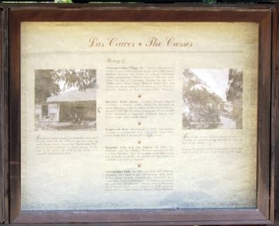
Chumash Indian Village—For many centuries prior to the arrival of the Spanish in the late 1700s, Santa Barbara County was home to a large Chumash Indian population. Valleys such as this one were often the site of Chumash villages. In the early 1800s, when friars from Mission Santa Ines put crosses on some unmarked Indian graves, this area became known as Las Cruces (The Crosses).
Mexican Land Grant, Cordero Family—Miguel Cordero, a retired soldier from the Presidio of Santa Barbara, built an adobe home at Las Cruces around 1833. His Mexican land grant of over 8,000 acres included a vineyard, orchard, wheat and barley crops, and a cattle ranch.
Stagecoach Stop—Beginning in 1861, Las Cruces became a convenient stop along the stagecoach route from San Francisco to Santa Barbara.
Roadside Cafe and Gas Station—In 1881, the Hollister and the Dibblee brothers purchased the Cordero Rancho. After local stagecoach lines went out of business (1920), the adobe was operated as a roadside cafe and gas station.
Gaviota State Park—In 1967, the State of California acquired this land as part of Gaviota State Park. Today these historic remains are protected as a reminder of our colorful past. To learn more about the patterns of California history, visit La Purisima State Historic Park near Lompoc or El Presidio de Santa Barbara State Historic Park in Santa Barbara.
Left Photo Caption
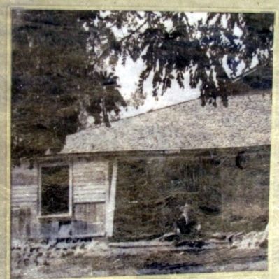
The present adobe nearby was probably constructed around 1860. By the 1930s it was in a state of ruin. Frank Fourly, known as "Rattlesnake Pete" because of his hatband, is shown sitting on the steps of the adobe. He lived in the adobe as a youngster until around 1894.
Right Photo Caption
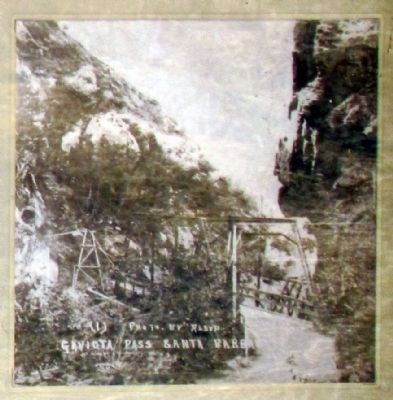
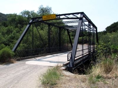
The bridge across Gaviota Creek served as a crossing for travelers going through the Gaviota Pass in the 1800s.
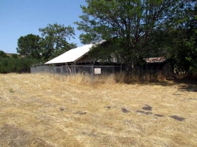
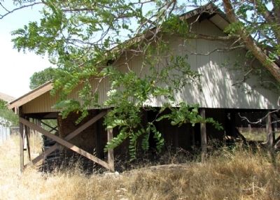
During this period the barn east of the adobe was built to allow changing horse teams for the stage.
Topics. This historical marker is listed in these topic lists: Roads & Vehicles • Settlements & Settlers. A significant historical year for this entry is 1833.
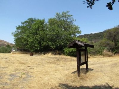
Location. 34° 30.524′ N, 120° 13.692′ W. Marker is near Buellton, California, in Santa Barbara County. Marker can be reached from San Julian Road, half a mile south of California Route 1. Marker may be accessed from trail at west end of parking lot. Touch for map. Marker is in this post office area: Buellton CA 93427, United States of America. Touch for directions.
Other nearby markers. At least 8 other markers are within 15 miles of this marker, measured as the crow flies. The Past and Future Las Cruces Adobe (here, next to this marker); Gaviota Pass (approx. 1.6 miles away); Arroyo Hondo Fish Passage & Upstream Habitat Restoration (approx. 5.6 miles away); Bit O' Denmark (approx. 7.9 miles away); Mission Santa Inéz (approx. 7.9 miles away); Los Olivos 1887 (approx. 12.6 miles away); Rancho De Los Olivos Farmhouse (approx. 12.6 miles away); La Purisima Mission (approx. 14.7 miles away).
Also see . . .
1. Rancho Las Cruces. A comprehensive history of the Rancho Las Cruces and the Las Cruces Adobe from the Cordero Family History website. (Submitted on July 31, 2013, by Duane Hall of Abilene, Texas.)
2. Las Cruces Adobe - History of the Once Thriving Ranch. A newspaper article from the June 18, 2013 edition of the Santa Barbara Independent. (Submitted on February 26, 2015, by Duane Hall of Abilene, Texas.)
Credits. This page was last revised on June 16, 2016. It was originally submitted on July 31, 2013, by Duane Hall of Abilene, Texas. This page has been viewed 1,057 times since then and 48 times this year. Photos: 1, 2, 3, 4, 5, 6, 7. submitted on July 31, 2013, by Duane Hall of Abilene, Texas.
