Lexington, Virginia — The American South (Mid-Atlantic)
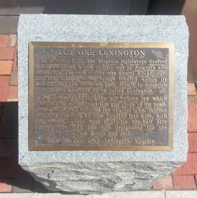
Lot One-Lexington
In October 1777, The Virginia legislature drafted a bill to create a new county out of Augusta and Botetourt. The new county was named Rockbridge, for the natural stone bridge located within its boundaries. The same act gave details to establish the county seat to be called Lexington.
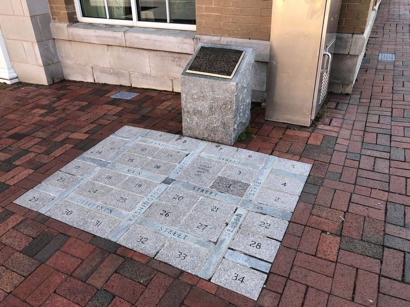
On January 12, 1778 the act became law which specified the name, exact size and shape of the town. James McDowell surveyed the original town, thirteen hundred feet long by nine hundred feet wide, with six streets. There were thirty-six one-half acre corner lots with two lots designated for the Court House and Jail.
Here lies Lot One, Lexington, Virginia.
Topics. This historical marker is listed in this topic list: Settlements & Settlers. A significant historical month for this entry is January 1814.
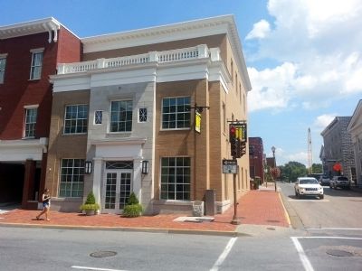
Location. 37° 47.051′ N, 79° 26.571′ W. Marker is in Lexington, Virginia. Marker is at the intersection of South Main Street (Business U.S. 11) and West Nelson Street (U.S. 60), on the right when traveling north on South Main Street. Touch for map. Marker is at or near this postal address: 54 S Main St, Lexington VA 24450, United States of America. Touch for directions.
Other nearby markers. At least 8 other markers are within walking distance of this marker. Benjamin C. Moomaw (here, next to this marker); The T. David Grist Headquarters Building (here, next to this marker); C.M. Figgat (a few steps from this marker); Zachariah Johnston (a few steps from this marker); Jordan and Darst (a few steps from this marker); Col. J.T.L. Preston (a few steps from this marker); Mary McD. Greenlee (a few steps from this marker); "Big Foot" Wm. A. Wallace (a few steps from this marker). Touch for a list and map of all markers in Lexington.
Credits. This page was last revised on May 9, 2021. It was originally submitted on August 3, 2013, by Bernard Fisher of Richmond, Virginia. This page has been viewed 516 times since then and 35 times this year. Photos: 1. submitted on August 3, 2013, by Bernard Fisher of Richmond, Virginia. 2. submitted on May 9, 2021, by Devry Becker Jones of Washington, District of Columbia. 3. submitted on August 3, 2013, by Bernard Fisher of Richmond, Virginia.


