Near Lovelock in Churchill County, Nevada — The American Mountains (Southwest)
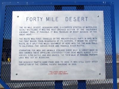
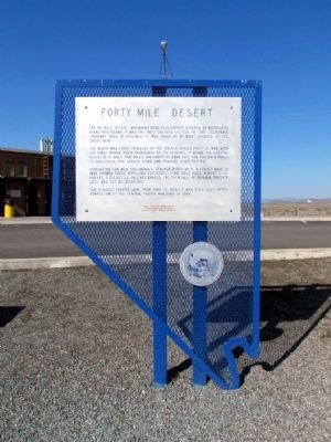
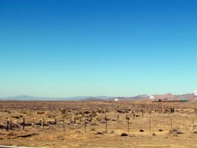
Forty Mile Desert
The route was first traveled by the Walker-Chiles Party in 1843, with the first wagon train, regardless of its horrors, it became the accepted route, as it split five miles southwest of here into the two main trails to California—the Carson River and Truckee River routes.
Starvation for men and animals stalked every mile. A survey made in 1850 showed these appalling statistics---1,061 dead mules, almost 5,000 horses, 3,750 cattle, and 953 graves. The then value of personal property loss was set at $1,000,000.
The heaviest traffic came from 1849 to 1869. It was still used after completion of the Central Pacific Railroad in 1869.
Erected 1970 by Nevada State Park System and Churchill County Museum Committee. (Marker Number 26.)
Topics and series. This historical marker is listed in these topic lists: Roads & Vehicles • Settlements & Settlers. In addition, it is included in the California Trail series list. A significant historical year for this entry is 1843.
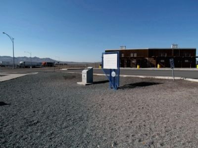
Location. 39° 56.441′ N, 118° 45.01′ W. Marker is near Lovelock, Nevada, in Churchill County. Marker can be reached from the intersection of U.S. 95 and Interstate 80, on the right when traveling south. Marker is located at the Trinity Rest Area on US 95 and is accessed from Exit 83 of Interstate 80. Touch for map. Marker is in this post office area: Lovelock NV 89419, United States of America. Touch for directions.
Other nearby markers. At least 4 other markers are within walking distance of this marker. Traveling Through Hell (within shouting distance of this marker); About Your Journey ... (within shouting distance of this marker); A Home of Early Man (within shouting distance of this marker); Truckee Trail - Forty Mile Desert (approx. 0.8 miles away).
Also see . . . New Amended Text for Marker. The Nevada State Historic Preservation Office (SHPO) recently updated the text of the roughly 260 state historical markers in Nevada. The Nevada SHPO placed the amended text of each individual marker on its website and will change the actual markers in the field as funding allows. Minor changes have been made to this marker for grammar and readability. The link will take you to the Nevada SHPO page for the marker with the amended text. (Submitted on October 25, 2013, by Duane Hall of Abilene, Texas.)
Credits. This page was last revised on June 16, 2016. It was originally submitted on August 6, 2013, by Duane Hall of Abilene, Texas. This page has been viewed 907 times since then and 52 times this year. Photos: 1, 2, 3, 4. submitted on August 6, 2013, by Duane Hall of Abilene, Texas.


