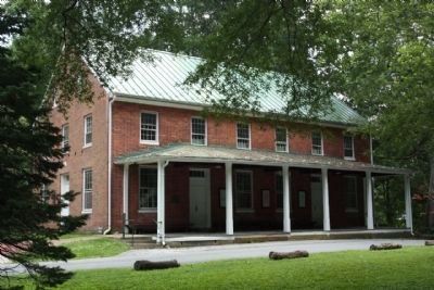
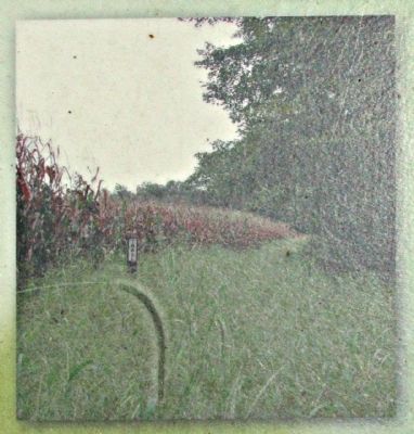
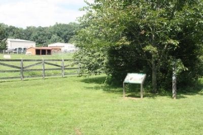
Norwood near Sandy Spring in Montgomery County, Maryland — The American Northeast (Mid-Atlantic)
African Americans and Quakers in Sandy Spring
Inscription.
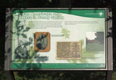
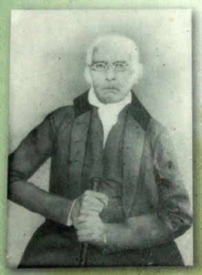
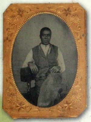
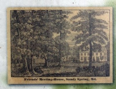
Sandy Spring has had large Quaker and African American populations since its founding in the 1720s. Encouraged by their regional and national Religious Society, most Sandy Spring Quakers had freed their slaves by about 1820, creating a significant free black population in the area. African Americans in Sandy Spring owned and worked on farms, and ran schools, churches, and fraternal organizations such as the Sharp Street United Methodist Church and the Odd Fellows Lodge.
In the years before the Civil War, the Underground Railroad was active in Montgomery County, and escapees knew they would be aided by free blacks and Quakers of Sandy Spring as they headed north.
"One way to open your eyes is to ask yourself, "What if I had never seen this before? What if I knew I would never see it again?" — Rachel Carson, The Sense of Wonder (posthumously 1965)
Erected by National Underground Railroad Network to Freedom, Montgomery Parks.
Topics and series. This historical marker is listed in these topic lists: Abolition & Underground RR • African Americans • Churches & Religion. In addition, it is included in the Quakerism series list. A significant historical year for this entry is 1820.
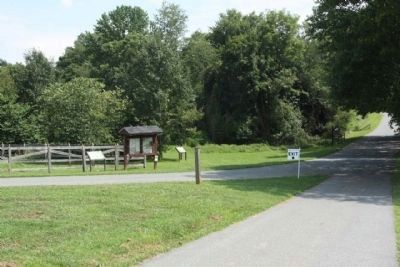
Location. 39° 7.65′ N, 77° 1.51′ W. Marker is near Sandy Spring, Maryland, in Montgomery County. It is in Norwood. Marker is on Park Police Drive near Ednor Road, on the left when traveling east. Located east of Norwood Road (MD 182) at the Park Police Special Operations Section MSP Aviation Division and Woodland Manor site along the exit drive (One Way). Touch for map. Marker is at or near this postal address: 16501 Norwood Rd, Sandy Spring MD 20860, United States of America. Touch for directions.
Other nearby markers. At least 8 other markers are within 2 miles of this marker, measured as the crow flies. The Rachel Carson Greenway (a few steps from this marker); Welcome to the Woodlawn Stone Barn Visitor Center (about 300 feet away, measured in a direct line); Woodlawn (about 400 feet away); Quakers Practicing their Faith in Montgomery County (about 500 feet away); Children Growing Up in Montgomery County (approx. 0.2 miles away); The Holland Red Door Store (approx. 0.2 miles away); The Sandy Spring (approx. 0.9 miles away); The Sandy Spring Ash Tree (approx. 1.2 miles away). Touch for a list and map of all markers in Sandy Spring.
Credits. This page was last revised on February 23, 2023. It was originally submitted on August 14, 2013, by Mike Stroud of Bluffton, South Carolina. This page has been viewed 1,556 times since then and 83 times this year. Photos: 1, 2, 3, 4, 5, 6, 7, 8. submitted on August 14, 2013, by Mike Stroud of Bluffton, South Carolina.
