Mount Pleasant in Charleston County, South Carolina — The American South (South Atlantic)
Slave Community
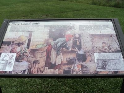
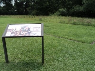
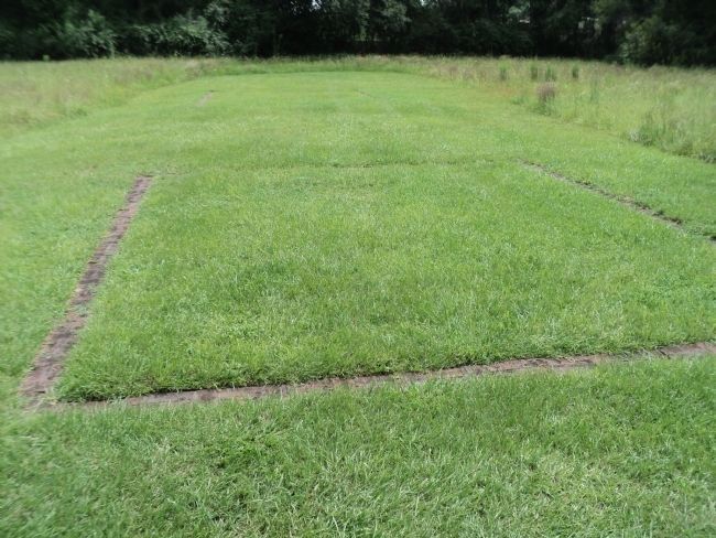
Enslaved Africans once lived and labored at Snee Farm. This site is a remnant of a slave community that extended south, beyond today’s park boundary. The structures that once stood here were built of wood with post-in-ground foundations. Outlined in modern brick, these archeological footprints reveal the small size of the living quarters.
During most of the year, slaves on Lowcountry rice plantations worked under the “task” system rather than the dawn-to-dusk “gang” system. For an able bodied field hand, the task could vary from ¼ acre to ½ acre depending on the job required. Children and older people were assigned ½ task or ¼ task according to their abilities. After completing the assigned daily task, a person could hunt, fish, tend a garden, or make baskets, cast nets, quilts, and other essential items. Slaves also sold skins, fish, crops, and crafts at local markets. In spite of the harsh realities of the plantation system, enslaved Africans created and nurtured a language and culture known today as Gullah or Geechee.
Erected by National Park Service.
Topics. This historical marker is listed in this topic list: African Americans.
Location. 32° 50.681′ N, 79° 49.544′ W. Marker is in Mount Pleasant, South Carolina, in Charleston County. Marker can be reached from Long Point Road, on the left when traveling west. Marker is located at the Charles Pinckney National Historic Site. Touch for map. Marker is at or near this postal address: 1254 Long Point Road, Mount Pleasant SC 29464, United States of America. Touch for directions.
Other nearby markers. At least 8 other markers are within walking distance of this marker. Snee Farm (about 500 feet away, measured in a direct line); Rice Trunk (about 500 feet away); Indigo and Its Beginnings in South Carolina (about 600 feet away); Charles Pinckney - Statesman (about 600 feet away); Archeology (about 700 feet away); Snee Farm Historic Structures (about 700 feet away); Lowcountry Waterways (about 800 feet away); Charles Pinckney (approx. 0.2 miles away). Touch for a list and map of all markers in Mount Pleasant.
More about this marker. The background of the marker features a picture of slaves performing tasks such as cooking or wood gathering. A picture at the lower left of the marker shows two slaves making a barrel, and has a caption of “Skilled artisans were listed on a 1787 inventory of Charles Pinckney’s Snee Farm property. Among the 46 named slaves were a carpenter, cooper, sawyer, shoemaker, gardener, wheelwright, blacksmith, and field hands. Pictured here are two coopers or barrel makers.” A picture of a slave standing in front of a cabin has a caption of
“The 19th century slave cabins at Snee Farm may have been similar to this one on St. Helena Island near Beaufort, South Carolina.”
Also see . . . Charles Pinckney National Historic Site. National Park Service website. (Submitted on August 15, 2013, by Bill Coughlin of Woodland Park, New Jersey.)
Credits. This page was last revised on June 16, 2016. It was originally submitted on August 15, 2013, by Bill Coughlin of Woodland Park, New Jersey. This page has been viewed 602 times since then and 9 times this year. Photos: 1, 2, 3, 4. submitted on August 15, 2013, by Bill Coughlin of Woodland Park, New Jersey.


