West Columbia in Lexington County, South Carolina — The American South (South Atlantic)
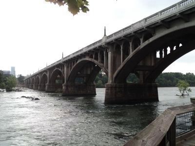
Old Congaree River Bridges
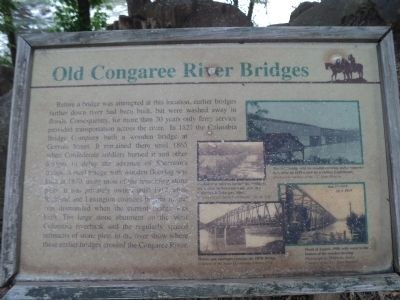
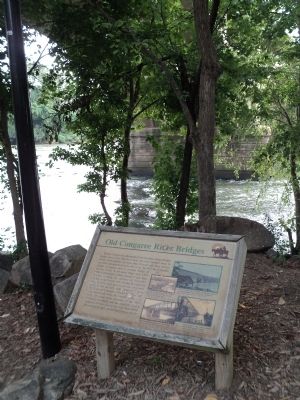
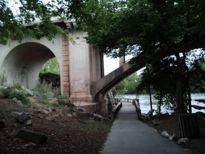
Before a bridge was attempted at this location, earlier bridges farther down river had been built, but were washed away in floods. Consequently, for more than 30 years only ferry service provided transportation across the river. In 1827 the Columbia Bridge Company built a wooden bridge at Gervais Street. It remained there until 1865 when Confederate soldiers burned it and other bridges to delay the advance of Sherman’s troops. A steel bridge with wooden flooring was built in 1870, using most of the remaining stone piers. It was privately owned until 1912 when Richland and Lexington counties bought it and was dismantled when the current bridge was built. The large stone abutment on the West Columbia riverbank and the regularly spaced remnant of stone piers in the river show where these earlier bridges crossed the Congaree River.
Topics. This historical marker is listed in these topic lists: Bridges & Viaducts • War, US Civil. A significant historical year for this entry is 1827.
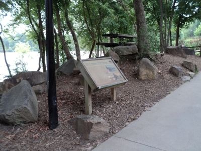
Location. 33° 59.708′ N, 81° 3.165′ W. Marker is in West Columbia, South Carolina, in Lexington County. Marker can be reached from Alexander Road, on the right when traveling north. Marker is located along the Three Rivers Greenway, under the Gervais Street Bridge. Touch for map. Marker is in this post office area: West Columbia SC 29169, United States of America. Touch for directions.
Other nearby markers. At least 8 other markers are within walking distance of this marker. Friday’s Ferry (within shouting distance of this marker); “City of Columbia” Anchor (within shouting distance of this marker); Gervais Street Bridge (within shouting distance of this marker); River Inn, c. 1740s (within shouting distance of this marker); Milestones (about 400 feet away, measured in a direct line); Congaree River Bridges (approx. ¼ mile away); 1896 Power Plant (approx. ¼ mile away); a different marker also named Gervais Street Bridge (approx. ¼ mile away). Touch for a list and map of all markers in West Columbia.
More about this marker. Four photos on the right side of the marker depict bridges at this location. They include the following captions:
“Confederate soldiers burned this bridge to block General Sherman’s advance into Columbia in February, 1865. Courtesy of the South Caroliniana Library, USC.”
“The 1837 bridge with its wooden covering under construction, after and 1828 sketch by a visiting Englishman. Illustration courtesy of the S.C. State Museum.”
“Horses and carriages crossing the 1870s bridge. Courtesy of the South Carolina Caroliniana Library, USC.” and
“Flood of August, 1908, with water to the bottom of the wooden decking. Photograph by Chapiesky Studio. Courtesy of the S.C. State Museum.”
Credits. This page was last revised on June 16, 2016. It was originally submitted on August 16, 2013, by Bill Coughlin of Woodland Park, New Jersey. This page has been viewed 874 times since then and 44 times this year. Photos: 1, 2, 3, 4, 5. submitted on August 16, 2013, by Bill Coughlin of Woodland Park, New Jersey.
