Near Richmond in Madison County, Kentucky — The American South (East South Central)
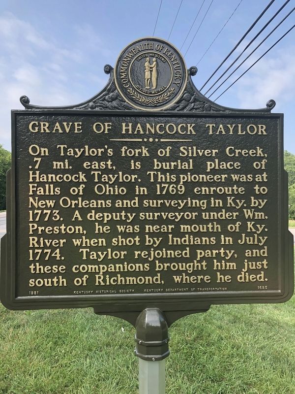
Grave of Hancock Taylor
Erected 1981 by Kentucky Historical Society-Kentucky Department of Highways. (Marker Number 1685.)
Topics and series. This historical marker is listed in these topic lists: Native Americans • War, French and Indian. In addition, it is included in the Kentucky Historical Society series list. A significant historical month for this entry is July 1774.
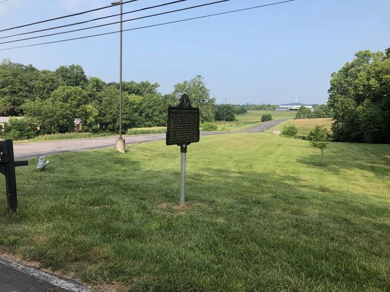
Location. 37° 43.3′ N, 84° 18.85′ W. Marker is near Richmond, Kentucky, in Madison County. Marker is on Lancaster Road (KY52) south of Shale Drive (but North of Taylor Fork Creek), on the right when traveling south. Touch for map. Marker is in this post office area: Richmond KY 40475, United States of America. Touch for directions.
Other nearby markers. At least 8 other markers are within 2 miles of this marker, measured as the crow flies. Eastern Kentucky Univ. (approx. 1˝ miles away); White Oak Pond Church (approx. 1.6 miles away); In Memory Of The Confederate Soldiers (approx. 2 miles away); In Memory Of The Fallen Union And Confederate Soldiers (approx. 2 miles away); Battle of Richmond (approx. 2 miles away); Cassius Marcellus Clay (approx. 2.1 miles away); Frances E. Beauchamp / Prohibition Advocate (approx. 2.1 miles away); James B. McCreary Hall of Justice (approx. 2.1 miles away). Touch for a list and map of all markers in Richmond.
Credits. This page was last revised on July 27, 2021. It was originally submitted on August 17, 2013, by Don Morfe of Baltimore, Maryland. This page has been viewed 1,126 times since then and 49 times this year. Photos: 1, 2. submitted on July 27, 2021, by Brian K. Hall of Lexington, Kentucky. • Al Wolf was the editor who published this page.

