West Ashley in Charleston in Charleston County, South Carolina — The American South (South Atlantic)
Trade, Profits and Support
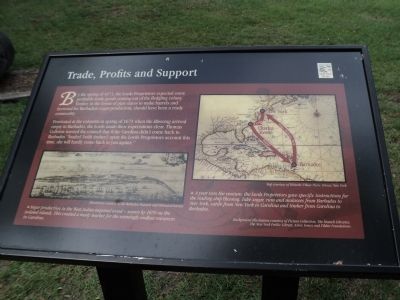
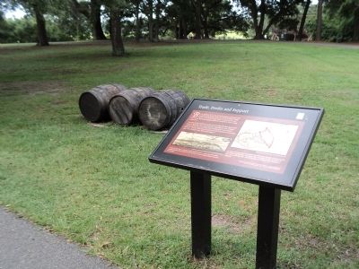
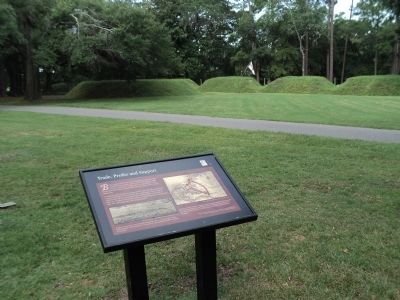
By the spring of 1671, the Lords Proprietors expected some profitable trade goods coming out of the fledgling colony. Timber, in the forms of pipe staves to make barrels and firewood for Barbadian sugar-production, should have been a ready commodity.
Frustrated at the colonists in spring of 1671 when the Blessing arrived empty in Barbados, the Lords made their expectations clear. Thomas Colleton warned the council that if the Carolina didn’t come back to Barbadoes “loaded [with timber] upon the Lords Proprietors account this time, she will hardly come back to you againe.”
Topics. This historical marker is listed in these topic lists: Colonial Era • Settlements & Settlers. A significant historical year for this entry is 1671.
Location. 32° 48.082′ N, 79° 58.956′ W. Marker is in Charleston, South Carolina, in Charleston County. It is in West Ashley. Marker can be reached from Old Town Plantation Road. Marker is located on the History Trail at Charles Towne Landing. Touch for map. Marker is at or near this postal address: 1500 Old Towne Road, Charleston SC 29407, United States of America. Touch for directions.
Other nearby markers. At least 8 other markers are within walking distance of this marker. Postponed Aspirations (within shouting distance of this marker); On the Edge of an Empire (within shouting distance of this marker); The Adventure, Trading Ketch (about 300 feet away, measured in a direct line); Ship Shaping (about 300 feet away); Seized! (about 300 feet away); Harnessing the Wind (about 300 feet away); A Common Lodging (about 400 feet away); Crime & Punishment: “Tyed to the Usual Tree” (about 400 feet away). Touch for a list and map of all markers in Charleston.
More about this marker. A picture at the lower left of the marker has a caption of “Sugar production in the West Indies required wood – scarce by 1670 on the isolated islands. This created a ready market for the seemingly endless resources in Carolina. Illustration courtesy of the Barbados Museum and Historical Society.”
A map on the right side of the marker illustrates the trade routes between New York, Charles Town and Barbados. It has a caption of “A year into the venture, the Lord Proprietors gave specific instructions for the trading ship Blessing: Take sugar, rum and molasses from Barbados to New York, cattle from New York to Carolina and timber from Carolina to Barbados. Map courtesy of Historic Urban Plans, Ithaca, New York.”
Credits. This page was last revised on February 16, 2023. It was originally submitted on August 19, 2013, by Bill Coughlin of Woodland Park, New Jersey. This page has been viewed 406 times since then and 11 times this year. Photos: 1, 2, 3, 4. submitted on August 19, 2013, by Bill Coughlin of Woodland Park, New Jersey.


