Centreville in Fairfax County, Virginia — The American South (Mid-Atlantic)
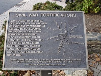
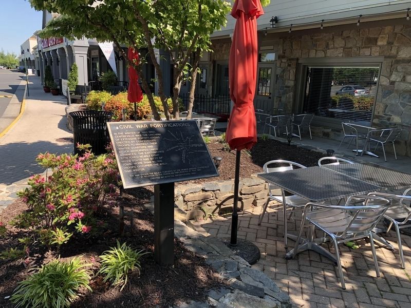
Civil War Fortifications
Erected 1989 by NVRetail Incorporated.
Topics. This historical marker is listed in this topic list: War, US Civil.
Location. 38° 50.144′ N, 77° 25.543′ W. Marker is in Centreville, Virginia, in Fairfax County. Marker can be reached from Braddock Road. Marker is located near the entrance to the Old Centreville Crossing shopping center - adjacent to Glory Days Grill. Touch for map. Marker is at or near this postal address: 13860 Braddock Road, Centreville VA 20121, United States of America. Touch for directions.
Other nearby markers. At least 5 other markers are within walking distance of this marker. Newgate Tavern (approx. 0.4 miles away); Convicts and Slaves (approx. 0.4 miles away); Archaeology at Newgate Tavern (approx. 0.4 miles away); Harrison House (approx. 0.4 miles away); Mystery Of The Centreville Six (approx. 0.4 miles away). Touch for a list and map of all markers in Centreville.
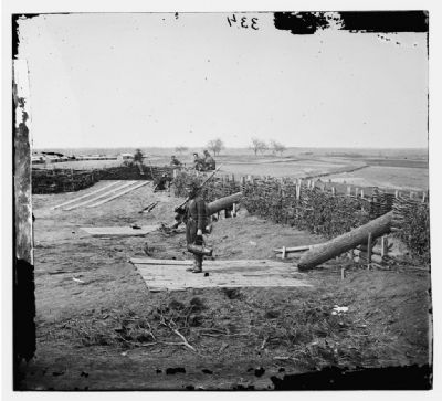
Also see . . . Rebel Position at Centreville. The lower left of this map includes a map of the Centreville Civil War Fortifications (David Rumsey Historical Map Collection). (Submitted on February 24, 2008.)

February 24, 2008
4. Battery Ridge Earthworks
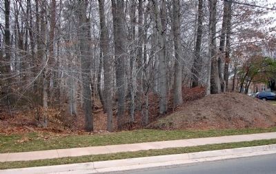
Located about 1 ½ miles northwest of this marker (along the aptly named Battery Ridge Lane) are the remains of a well-preserved section of the northern line of these fortifications. About 150 yards long, it has two artillery emplacements, one with four and the other with five embrasures. There is a ditch in front of the artillery emplacements. (Field Armies and Fortifications in the Civil War: The Eastern Campaigns, 1861-1864, Earl J. Hess, p. 35)
There is no documentation on site – this is in the middle of modern housing developments.
There is no documentation on site – this is in the middle of modern housing developments.
Credits. This page was last revised on July 7, 2021. It was originally submitted on November 12, 2006. This page has been viewed 3,684 times since then and 60 times this year. Photos: 1. submitted on November 12, 2006. 2. submitted on May 15, 2021, by Devry Becker Jones of Washington, District of Columbia. 3, 4. submitted on February 24, 2008. • J. J. Prats was the editor who published this page.


