Near Sharpsburg in Washington County, Maryland — The American Northeast (Mid-Atlantic)
4th and 12th U.S. Infantry
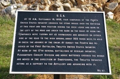
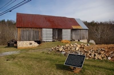
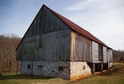
At 10 A.M., September 16, 1862, four companies of the Fourth United States Infantry crossed the stone bridge over the Antietam at this point and took position behind the rock ledge and barn on the left of the road and under the bank on the right. At noon two companies were thrown out as skirmishers and advanced on either side of the road to high ground, about 350 yards west, to hold in check the advance of the enemy. At sunset the Fourth was relieved by the First Battalion, Twelfth United States Infantry. At noon of the 17th, several battalions of regular infantry, Pleasanton's Cavalry Division and horse batteries crossed the bridge and moved in the direction of Sharpsburg, the Twelfth Infantry acting as a support to the Artillery and advancing with it. (Marker Number 87.)
Topics and series. This historical marker is listed in this topic list: War, US Civil. In addition, it is included in the Antietam Campaign War Department Markers series list. A significant historical month for this entry is September 1888.
Location. 39° 27.853′ N, 77° 43.623′ W. Marker is near Sharpsburg, Maryland, in Washington County. Marker is on Boonsboro Pike (Maryland Route 34), on the right when traveling east. Touch for map. Marker is in this post office area: Sharpsburg MD 21782, United States of America. Touch for directions.
Other nearby markers. At least 8 other markers are within walking distance of this marker. The Newcomer House (within shouting distance of this marker); Heart of the Civil War (within shouting distance of this marker); Early's Washington Raid (within shouting distance of this marker); Gettysburg Campaign (within shouting distance of this marker); Antietam National Battlefield (within shouting distance of this marker); 1862 Antietam Campaign (within shouting distance of this marker); Third Indiana Cavalry (about 300 feet away, measured in a direct line); History or Memory? (about 300 feet away). Touch for a list and map of all markers in Sharpsburg.
More about this marker. Title of marker based on Trailhead Graphics, Inc., map of the battlefield.
Regarding 4th and 12th U.S. Infantry. The bridge over the Antietam described on the marker was destroyed by flooding in 1889.
Also see . . . Antietam Battlefield. National Park Service site. (Submitted on April 2, 2008, by Craig Swain of Leesburg, Virginia.)
Photographed By Craig Swain, April 6, 2008
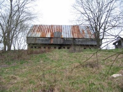
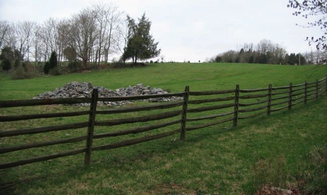
3. 12th U.S. Infantry Morning Position
During the morning hours of the battle, the 12th U.S. remained on the west side of the Antietam around the Newcomer Farm. From this position just south of the Newcomer Barn, the Boonsboro Pike is seen on the far right, where the utility poles stand. The ridge line in the center (to the west) shielded the regiment from most Confederate artillery fires.
Credits. This page was last revised on September 21, 2017. It was originally submitted on March 31, 2008, by Christopher Busta-Peck of Shaker Heights, Ohio. This page has been viewed 1,386 times since then and 9 times this year. Photos: 1, 2. submitted on March 31, 2008, by Christopher Busta-Peck of Shaker Heights, Ohio. 3. submitted on April 14, 2008, by Craig Swain of Leesburg, Virginia. 4. submitted on March 31, 2008, by Christopher Busta-Peck of Shaker Heights, Ohio. 5. submitted on April 14, 2008, by Craig Swain of Leesburg, Virginia. • Craig Swain was the editor who published this page.
