West Ashley in Charleston in Charleston County, South Carolina — The American South (South Atlantic)
Harnessing the Wind
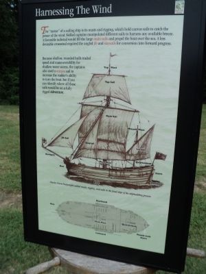
The “motor” of a sailing ship is its masts and rigging, which hold canvas sails to catch the power of the wind. Skilled captains manipulated different sails to harness any available breeze. A favorable tailwind would fill the large main sails and propel the boat over the sea. A less desirable crosswind required the angled jib and staysails for conversion into forward progress.
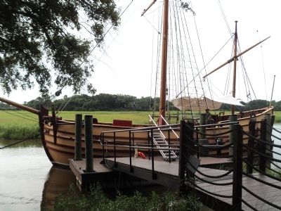
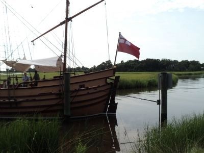
Because shallow, rounded hulls traded speed and maneuverability for shallow-water access, the captains also used a mizzen sail to increase the rudder’s ability to turn the boat. See if you can identify where all these sails would be on a fully rigged Adventure.
Topics. This historical marker is listed in these topic lists: Colonial Era • Settlements & Settlers • Waterways & Vessels.
Location. 32° 48.054′ N, 79° 58.998′ W. Marker is in Charleston, South Carolina, in Charleston County. It is in West Ashley. Marker can be reached from Old Town Plantation Road. Marker is located on the History Trail at Charles Towne Landing. Touch for map. Marker is at or near this postal address: 1500 Old Towne Road, Charleston SC 29407, United States of America. Touch for directions.
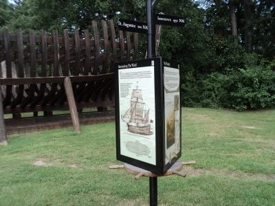
Other nearby markers. At least 8 other markers are within walking distance of this marker. Ship Shaping (here, next to this marker); Seized! (here, next to this marker); The Adventure, Trading Ketch (here, next to this marker); Postponed Aspirations (within shouting distance of this marker); Trade, Profits and Support (about 300 feet away, measured in a direct line); On the Edge of an Empire (about 400 feet away); Mixed Results (about 400 feet away); A Common Lodging (about 600 feet away). Touch for a list and map of all markers in Charleston.
More about this marker. Pictures at the bottom of the marker show different views of a ship. A diagram of the deck of a ship identify the locations of the Main Mast, Quarterdeck, Bow, Round-tuck Stern, Starboard and Larboard.
A picture above this depicts a ship on the water, and has a caption of “Charles Towne boatwrights added masts, rigging, and sails in the final steps of the shipbuilding process. Identified on the ship in the picture are the Top Mast, Top Sail, Main Sail, Mizzen Mast, Jib Sail, Staysail, Lateen, Bowspirit, Main Mast, Quarterdeck, Bow, Stern, Forecastle, Hull, Rudder, and Keel.
Credits. This page was last revised on February 16, 2023. It was originally submitted on August 21, 2013, by Bill Coughlin of Woodland Park, New Jersey. This page has been viewed 418 times since then and 10 times this year. Photos: 1, 2, 3, 4. submitted on August 21, 2013, by Bill Coughlin of Woodland Park, New Jersey.


