Near Wamsutter in Sweetwater County, Wyoming — The American West (Mountains)
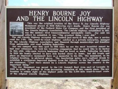
Henry Bourne Joy and the Lincoln Highway
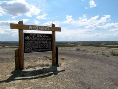
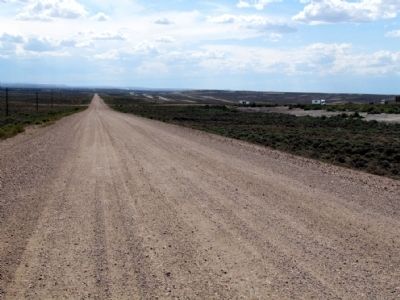
The old Lincoln Highway occupied the roadbed just north of this sign, now a service road for I-80. The coast-to-coast highway existed as a private enterprise, managed by the Lincoln Highway Association and financed through memberships and donations from automobile and road building industries.
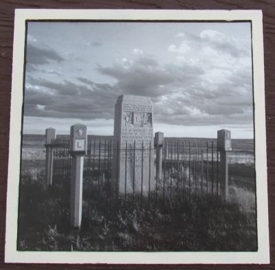
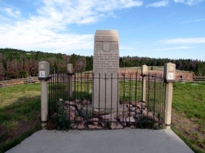
Joy was camped near this spot in 1916 when he saw the most beautiful sunset he had ever witnessed. He told his traveling companions that he would like to be buried in this wild, wide-open western landscape that he loved so much. Following his death in 1936 his family elected to have him buried closer to home, but did create and place an impressive monument here as a memorial to his life. The monument, in its original location, is pictured above. The inscription notes Joy's realized dream to establish a continuous improved highway from the Atlantic to the Pacific and repeats his statement, "That there should be a Lincoln Highway across the country is the important thing."
The Joy Monument was moved to the I-80 Summit Rest Area east of Laramie in 2001 in order to protect it from increasing vandalism at this remote place. The new location is within sight of the highest point on the 3,500-mile coast-to-coast route of the original location.
Topics and series. This historical marker is listed in this topic list: Roads & Vehicles. In addition, it is included in the Lincoln Highway series list. A significant historical year for this entry is 1938.
Location. 41° 42.794′ N, 107° 47.113′ W. Marker is near Wamsutter, Wyoming, in Sweetwater County. Marker can be reached from Interstate 80 at milepost 184, on the right when traveling east. To reach marker, after exiting I-80 at Exit 184 (Continental Divide Road), drive south for less than 1/8 mile till you reach a wide gravel/dirt road (this is the roadbed of the Lincoln Highway). Turn left (west) on road and in approx. 0.2 miles you will see marker on your left. You can park on the Lincoln Highway roadbed and walk to the marker, or continue driving a little past the marker and you will find on your left a one-lane dirt road that leads to the marker. Touch for map. Marker is in this post office area: Wamsutter WY 82336, United States of America. Touch for directions.
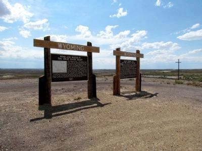
Other nearby markers. At least 1 other marker is within walking distance of this marker. Wind and Water in the Great Divide Basin
(here, next to this marker).
Related markers. Click here for a list of markers that are related to this marker. These markers at the I-80 Summit Rest Area are another Henry Bourne Joy and the Lincoln Highway marker and the Henry B. Joy Monument.
Also see . . . Lincoln Highway Association Official Website. (Submitted on August 21, 2013, by Duane Hall of Abilene, Texas.)
Credits. This page was last revised on June 16, 2016. It was originally submitted on August 21, 2013, by Duane Hall of Abilene, Texas. This page has been viewed 928 times since then and 39 times this year. Photos: 1, 2, 3, 4, 5, 6. submitted on August 21, 2013, by Duane Hall of Abilene, Texas.
