Near West Wendover in Elko County, Nevada — The American Mountains (Southwest)
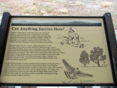
Can Anything Survive Here?
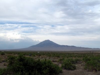
This area wasn't always a desert. Limber pine trees covered the Leppy Hills to the east from 10,000 to 12,000 years ago. As the climate became drier, pinyon pine and juniper trees replaced the limber pines at the lower elevations. Pinyon pines are relative newcomers to the surrounding mountains. They didn't arrive until about 7,000 years ago. Today, limber pine and subalpine fir grow only at the higher, cooler and wetter elevations on Pilot Peak and nearby mountain ranges. Animals you might encounter in these forested areas include bighorn sheep, mule deer, elk and mountain lion.
In the fall thousands of raptors (birds of prey) migrate south along this valley. The Great Salt Lake Desert's lack of food, water and lifting air currents form a migration barrier for these birds. Food, water and roosting sites are easy to find in the Toano and Goshute Ranges. Air rising over these mountains to the west provides the lift these birds need to soar. Conserving energy by soaring as much as possible during their long journeys is a key to their survival.
Topics. This historical marker is listed in this topic list: Environment.
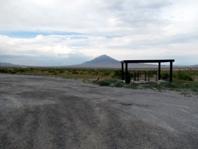
Location. 40° 50.711′ N, 114° 12.491′ W. Marker is near West Wendover, Nevada, in Elko County. Marker is on Pilot Road, 0.2 miles Interstate 80, on the right when traveling north. Pilot Rod is accessed from Exit 398 of I-80. Touch for map. Marker is in this post office area: West Wendover NV 89883, United States of America. Touch for directions.
Other nearby markers. At least 8 other markers are within 11 miles of this marker, measured as the crow flies. Tough Traveling in the Desert (here, next to this marker); Where Did the Lake Go? (here, next to this marker); Pilot Peak (about 500 feet away, measured in a direct line); Transcontinental Telephone Line (approx. 10.1 miles away); Ancient Lake Bonneville (approx. 10.1 miles away); Historic Wendover Field (approx. 10.1 miles away); Western Pacific Railroad (approx. 10.1 miles away); Lincoln Highway (approx. 10.1 miles away). Touch for a list and map of all markers in West Wendover.
Credits. This page was last revised on June 16, 2016. It was originally submitted on August 21, 2013, by Duane Hall of Abilene, Texas. This page has been viewed 382 times since then and 20 times this year. Photos: 1. submitted on August 21, 2013, by Duane Hall of Abilene, Texas. 2, 3. submitted on August 11, 2013, by Duane Hall of Abilene, Texas.


