Boyds in Montgomery County, Maryland — The American Northeast (Mid-Atlantic)
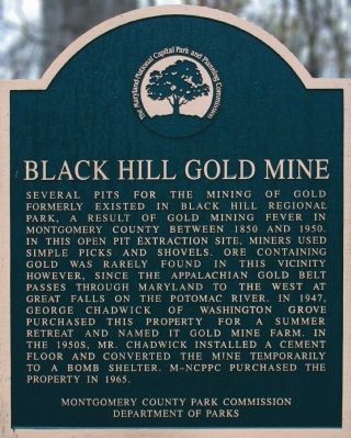
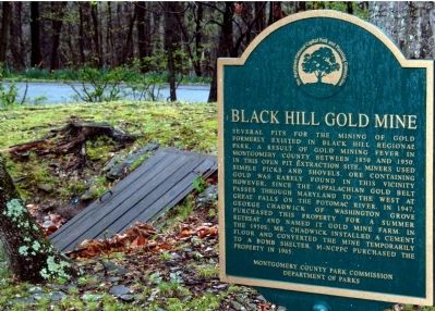
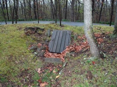
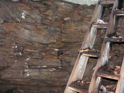
Black Hill Gold Mine
Erected by Montgomery County Parks Commission, Department of Parks.
Topics. This historical marker is listed in this topic list: Industry & Commerce. A significant historical year for this entry is 1850.
Location. 39° 11.793′ N, 77° 17.508′ W. Marker is in Boyds, Maryland, in Montgomery County. Marker can be reached from Lake Ridge Drive, 0.1 miles north of Lake Ridge Drive, on the left when traveling north. The marker is in the yard of the Black Hill Regional Park office in what was previously George Chadwick's house. Touch for map. Marker is at or near this postal address: 20926 Lake Ridge Drive, Boyds MD 20841, United States of America. Touch for directions.
Other nearby markers. At least 8 other markers are within 3 miles of this marker, measured as the crow flies. To Honor the Memory of George A, (Jay) Chadwick Jr. (within shouting distance of this marker); Welcome to our Earthbench (approx. 0.3 miles away); Waters' Mill (approx. half a mile away); Railway Bed (approx. 1.6 miles away); Reflections of Old Germantown (approx. 1.9 miles away); Liberty Mill (approx. 1.9 miles away); The Germantown Bank (approx. 1.9 miles away); Dowden's Ordinary: The Elephant Comes to Clarksburg (approx. 2.9 miles away). Touch for a list and map of all markers in Boyds.
Also see . . . There Was Gold in That Black Hill. Posted by Susan Soderberg on the Germantown Patch (Submitted on August 22, 2013, by Allen C. Browne of Silver Spring, Maryland.)
Credits. This page was last revised on September 22, 2019. It was originally submitted on August 22, 2013, by Allen C. Browne of Silver Spring, Maryland. This page has been viewed 811 times since then and 22 times this year. Photos: 1, 2, 3, 4. submitted on August 22, 2013, by Allen C. Browne of Silver Spring, Maryland. • Bill Pfingsten was the editor who published this page.


