Fort Hunter in Montgomery County, New York — The American Northeast (Mid-Atlantic)
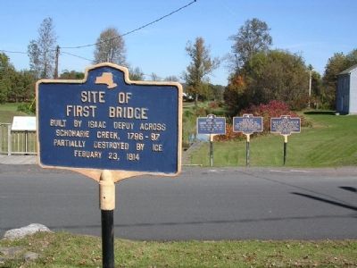
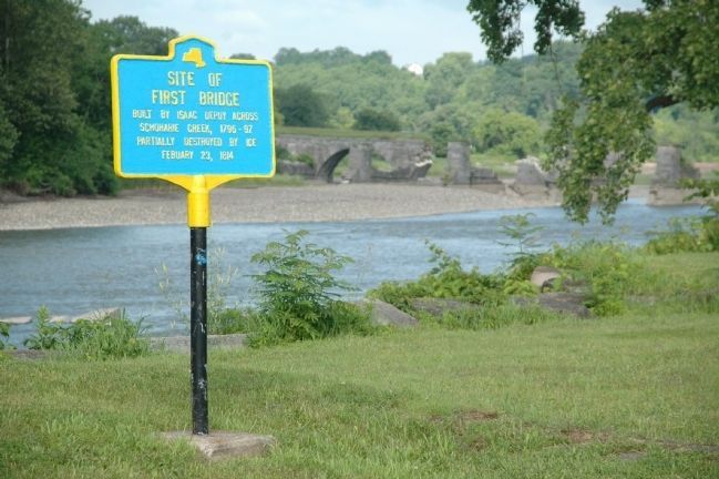
Site of First Bridge
Schoharie Creek, 1796-97.
Partially destroyed by ice
Febuary 23, 1814
Erected by New York State.
Topics. This historical marker is listed in these topic lists: Bridges & Viaducts • Roads & Vehicles. A significant historical year for this entry is 1814.
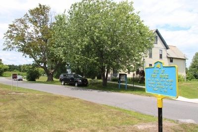
Location. 42° 56.354′ N, 74° 16.914′ W. Marker is in Fort Hunter, New York, in Montgomery County. Marker is on Schoharie Street, on the right when traveling south. The marker is diagonally across the street from the Schoharie Crossing State Historic Site visitor's center. Touch for map. Marker is in this post office area: Fort Hunter NY 12069, United States of America. Touch for directions.
Other nearby markers. At least 8 other markers are within walking distance of this marker. Site of Last Mohawk Indian Village (a few steps from this marker); Site of Old Fort Hunter (a few steps from this marker); A Mohawk House Unearthed (a few steps from this marker); Original Erie Canal (a few steps from this marker); East Guard Lock (a few steps from this marker); Site of Queen Anne Chapel (a few steps from this marker); Building Block of the Erie Canal (within shouting distance of this marker); The Fort by the Village (within shouting distance of this marker). Touch for a list and map of all markers in Fort Hunter.
Additional commentary.
1.
Notice the marker includes an incorrect spelling of February as Febuary.
— Submitted December 27, 2022, by Mira Earls of Cortland, New York.
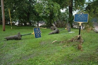
Additional keywords. Schoharie River Hurricane Irene
Credits. This page was last revised on December 27, 2022. It was originally submitted on August 22, 2013, by Howard C. Ohlhous of Duanesburg, New York. This page has been viewed 407 times since then and 15 times this year. Photos: 1, 2. submitted on August 22, 2013, by Howard C. Ohlhous of Duanesburg, New York. 3. submitted on September 13, 2015, by Dale K. Benington of Toledo, Ohio. 4. submitted on August 22, 2013, by Howard C. Ohlhous of Duanesburg, New York. • Bill Pfingsten was the editor who published this page.


