Cheyenne in Laramie County, Wyoming — The American West (Mountains)
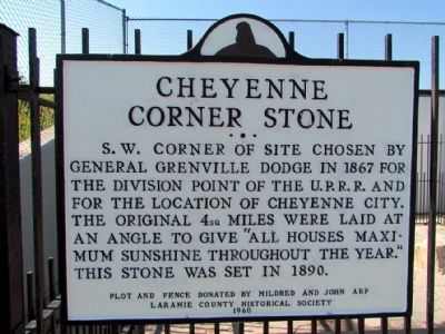
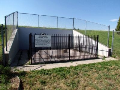
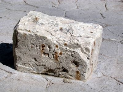
Cheyenne Corner Stone
Plot and fence donated by Mildred and John Arp
Erected 1960 by Laramie County Historical Society.
Topics. This historical marker is listed in these topic lists: Railroads & Streetcars • Settlements & Settlers. A significant historical year for this entry is 1867.
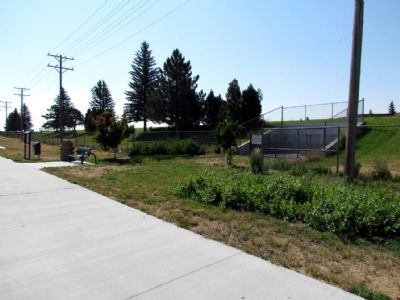
Location. 41° 6.774′ N, 104° 49.298′ W. Marker is in Cheyenne, Wyoming, in Laramie County. Marker can be reached from Dey Avenue south of W. Jefferson Road, on the left when traveling south. Marker is located on the south side of the park path approx. 100 yards east of Dey Ave. Touch for map. Marker is in this post office area: Cheyenne WY 82007, United States of America. Touch for directions.
Other nearby markers. At least 8 other markers are within 2 miles of this marker, measured as the crow flies. The Tivoli Building (approx. 1.4 miles away); Union Pacific Railroad Depot (approx. 1.4 miles away); The First Transcontinental Highway (approx. 1.4 miles away); Cheyenne's Heritage at a Glance (approx. 1.4 miles away); Tom Horn (approx. 1.4 miles away); The Union Pacific Railroad (approx. 1.4 miles away); The first steam-powered locomotive reached Cheyenne on November 14, 1867 (approx. 1.4 miles away); Cheyenne's Early Fire Companies (approx. 1.4 miles away). Touch for a list and map of all markers in Cheyenne.
Credits. This page was last revised on May 29, 2019. It was originally submitted on August 24, 2013, by Duane Hall of Abilene, Texas. This page has been viewed 973 times since then and 41 times this year. Photos: 1, 2, 3, 4. submitted on August 24, 2013, by Duane Hall of Abilene, Texas. 5. submitted on May 27, 2019, by Allen C. Browne of Silver Spring, Maryland.
