Near Columbia in Tuolumne County, California — The American West (Pacific Coastal)
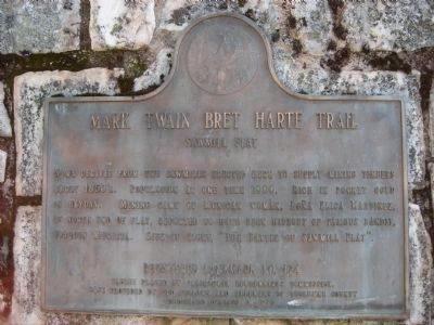
Sawmill Flat
— Mark Twain Bret Harte Trail —
Erected 1949 by California Centennial Commission. (Marker Number 424.)
Topics and series. This historical marker is listed in these topic lists: Notable Places • Settlements & Settlers. In addition, it is included in the California Historical Landmarks, and the Mark Twain Bret Harte Trail series lists.
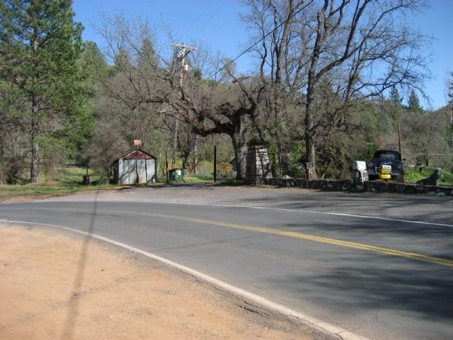
Location. 38° 1.363′ N, 120° 22.796′ W. Marker is near Columbia, California, in Tuolumne County. Marker is on Sawmill Flat Road, 0.9 miles east of Parrotts Ferry Road (County Route E18), on the right when traveling east. Approximately ¼ mile south of entrance to Columbia College. Touch for map. Marker is in this post office area: Columbia CA 95310, United States of America. Touch for directions.
Other nearby markers. At least 8 other markers are within 2 miles of this marker, measured as the crow flies. Columbia (approx. 1.2 miles away); Hildreth Party (approx. 1.3 miles away); Scraping the Rocks Clean (approx. 1.4 miles away); A Home for Immigrants (approx. 1.4 miles away); Prosper Rocher Brewery (approx. 1.4 miles away); Site of Donnell & Parsons Building (approx. 1.4 miles away); Eagle Cotage (approx. 1.4 miles away); Columbia Masonic Temple (approx. 1.4 miles away). Touch for a list and map of all markers in Columbia.
Credits. This page was last revised on May 4, 2020. It was originally submitted on April 1, 2008, by Richard Wisehart of Sonora, California. This page has been viewed 1,743 times since then and 37 times this year. Last updated on May 1, 2020, by Craig Baker of Sylmar, California. Photos: 1, 2. submitted on April 1, 2008, by Richard Wisehart of Sonora, California. • Syd Whittle was the editor who published this page.

