Near Columbia in Tuolumne County, California — The American West (Pacific Coastal)
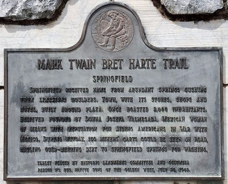
Springfield
Mark Twain Bret Harte Trail
Erected 1948 by Historic Landmarks Committee; and Columbia Parlor No. 258 Native Sons of the Golden West. (Marker Number 432.)
Topics and series. This historical marker is listed in these topic lists: Notable Places • Settlements & Settlers. In addition, it is included in the California Historical Landmarks, the Mark Twain Bret Harte Trail, and the Native Sons/Daughters of the Golden West series lists.
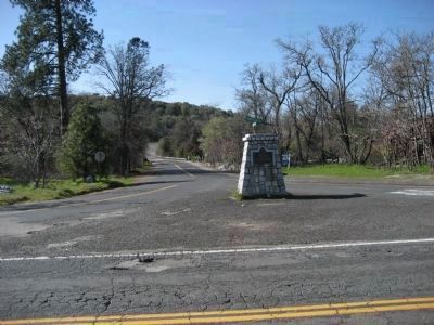
Location. 38° 1.306′ N, 120° 24.764′ W. Marker is near Columbia, California, in Tuolumne County. Marker is at the intersection of Springfield Road and Horseshoe Bend Road, on the right when traveling west on Springfield Road. Approximately ˝ mile west of Parrotts Ferry Rd. Touch for map. Marker is in this post office area: Columbia CA 95310, United States of America. Touch for directions.
Other nearby markers. At least 8 other markers are within one mile of this marker, measured as the crow flies. Springfield Cemetery (approx. 0.2 miles away); Columbia (approx. 0.9 miles away); Hon. Jesse M. Mayo (approx. one mile away); a different marker also named Columbia (approx. one mile away); Hildreth Party (approx. one mile away); Eagle Cotage (approx. one mile away); Columbia Masonic Temple (approx. one mile away); Site of Donnell & Parsons Building (approx. one mile away). Touch for a list and map of all markers in Columbia.
More about this marker. This location is adjacent to Springfield Trout Farm.
Credits. This page was last revised on February 2, 2024. It was originally submitted on April 1, 2008, by Richard Wisehart of Sonora, California. This page has been viewed 1,519 times since then and 33 times this year. Photos: 1. submitted on February 2, 2024, by Craig Baker of Sylmar, California. 2. submitted on April 1, 2008, by Richard Wisehart of Sonora, California. • J. J. Prats was the editor who published this page.

