Near Northville in Fulton County, New York — The American Northeast (Mid-Atlantic)
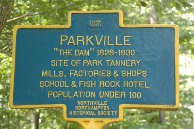
Parkville
Site of Park Tannery
Mills, Factories & Shops
School & Fish Rock Hotel
Population Under 100
Erected 2009 by The Northville Northampton Historical Society.
Topics. This historical marker is listed in these topic lists: Industry & Commerce • Man-Made Features • Settlements & Settlers.
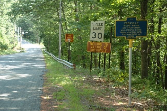
Location. 43° 13.885′ N, 74° 10.951′ W. Marker is near Northville, New York, in Fulton County. Marker is on Old State Road, on the right when traveling south. Marker is on Old State Road, just outside the Village of Northville where the road becomes Reed Street. Touch for map. Marker is at or near this postal address: 570 Reed Street, Northville NY 12134, United States of America. Touch for directions.
Other nearby markers. At least 8 other markers are within walking distance of this marker. Northville Depot (approx. half a mile away); Chimney Swifts of Northville, New York (approx. half a mile away); Lee Anibal's Law Office (approx. 0.6 miles away); William F. Barker House (approx. 0.6 miles away); Northville War Memorial (approx. 0.6 miles away); 5 & 10 Cent Store (approx. 0.7 miles away); The Fry Block (approx. 0.7 miles away); James A. Cole Block (approx. 0.7 miles away). Touch for a list and map of all markers in Northville.
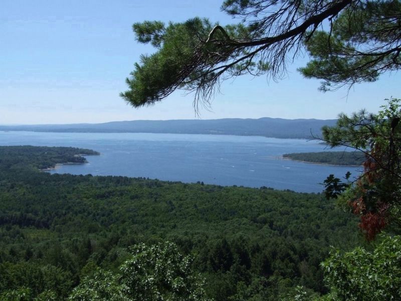
Regarding Parkville. Parkville was a small but industrious hamlet which grew up around several mills that were located beside a small dam and bridge constructed across the Sacandaga River about one mile upstream from the bridge at Northville. The dam was built in the late 1820s by Andrew McNutt, who had settled here from Scotland sometime before 1800. Parkville, with fewer than 100 residents, derived its name from the Park Tannery, built around 1850 on the river’s east bank. It was Fulton County’s largest tannery in 1874, the year it burned for the second and last time. Unfortunately for the inhabitants, Parkville was in the flood plain of the new Sacandaga Reservoir planned for the Sacandaga Valley. While people knew for decades the reservoir was being planned, they still were reluctant to move. Some of the people in Parkville who were forced to sell their homes to what would become the Hudson River-Black River Regulating District through eminent domain, bought them back for $1.00 and had them moved. Some were moved to Northville, while others were moved farther away from the rising lake waters. The houses moved on skids, pulled by horses with ropes, chains and a type of capstan. Not everyone in Parkville had the means to do this, so many buildings were burned, some partly moved, some torn down. Parkville was one of many communities that disappeared before the water came. Other villages inundated
by the Sacandaga include Batchellerville, Fish House, Osborne Bridge, The Vly, parts of Cranberry Creek, Sacandaga Park, the Town of Day, Conklingville, Munsonville and Benedict. They all were swept aside for what state officials deemed the greater good of flood control along the Hudson River. On March 27, 1930, the gates at the Conklingville dam were closed and the Sacandaga Valley was flooded creating the Great Sacandaga Lake.

via Adirondack Almanack, unknown
3. The making of Great Sacandaga Lake (and the flooding of communities)
Adirondack Almanack website entry
Click for more information.
Click for more information.
Credits. This page was last revised on November 26, 2022. It was originally submitted on August 31, 2013, by Howard C. Ohlhous of Duanesburg, New York. This page has been viewed 626 times since then and 27 times this year. Photos: 1, 2. submitted on August 31, 2013, by Howard C. Ohlhous of Duanesburg, New York. 3. submitted on April 24, 2022, by Larry Gertner of New York, New York. • Bill Pfingsten was the editor who published this page.

