Near Sharpsburg in Washington County, Maryland — The American Northeast (Mid-Atlantic)
As the Georgians Saw It
Inscription.
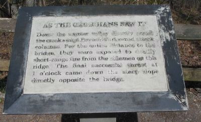
Down the narrow valley directly across the creek swept Burnside's doomed attack columns. For the entire distance to the bridge, they were exposed to deadly short-range fire from the riflemen on this ridge. The final successful thrust at 1 o'clock came down the steep slope directly opposite the bridge.
Topics. This historical marker is listed in this topic list: War, US Civil.
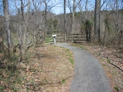
Location. 39° 26.974′ N, 77° 43.861′ W. Marker is near Sharpsburg, Maryland, in Washington County. Marker can be reached from Old Burnside Bridge Road, on the right when traveling south. Located along a walking trail to Snavely's Ford, which starts at the parking area for stop 9, Burnside Bridge, of the driving tour of Antietam Battlefield. Touch for map. Marker is in this post office area: Sharpsburg MD 21782, United States of America. Touch for directions.
Other nearby markers. At least 8 other markers are within walking distance of this marker. U.S. Geological Survey Streamflow-Gaging Station (within shouting distance of this marker); Ninth Army Corps (about 300 feet away, measured in a direct line); a different marker also named Ninth Army Corps (about 400 feet away); Sturgis's Division, Ninth Army Corps (about 400 feet away); A Crucial Crossing, a General’s Namesake, a Battlefield Icon (about 400 feet away); Fifty-First New York Infantry (about 400 feet away); a different marker also named Ninth Army Corps (about 400 feet away); "Point Blank Range" (about 400 feet away). Touch for a list and map of all markers in Sharpsburg.
Also see . . . Antietam Battlefield. National Park Service site. (Submitted on April 1, 2008, by Craig Swain of Leesburg, Virginia.)

Photographed By Craig Swain, March 29, 2008
3. The Georgian Overlook of the IX Corps Attacks
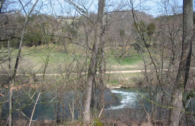
Looking over the Antietam toward the ground from which several Federal attacks against the Burnside Bridge were staged. Several waves of Federal assaults drove at the bridge by crossing the open ground on the opposite side of the river from right to left. As seen through the trees here, the Georgians in Toombs' Brigade had the advantage of terrain.
Credits. This page was last revised on September 21, 2017. It was originally submitted on April 1, 2008, by Craig Swain of Leesburg, Virginia. This page has been viewed 1,078 times since then and 19 times this year. Photos: 1, 2, 3. submitted on April 1, 2008, by Craig Swain of Leesburg, Virginia. 4. submitted on September 30, 2015, by Brandon Fletcher of Chattanooga, Tennessee.


