Potomac in Montgomery County, Maryland — The American Northeast (Mid-Atlantic)
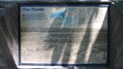
The Floods
Although this stop-lock was a local success, the canal as a whole suffered great damage from periodic floods which became more frequent and violent as land was cleared for farms and towns along the Upper Potomac. By World War I, traffic and revenues on the canal had dwindled to a point where it was touch-and-go to continue operations. After violent spring floods wrecked miles of canal and towpath in 1924, the "old ditch" was closed for good in all but the Georgetown area.
Topics. This historical marker is listed in these topic lists: Industry & Commerce • Waterways & Vessels. A significant historical year for this entry is 1924.
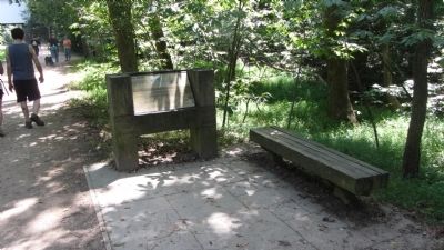
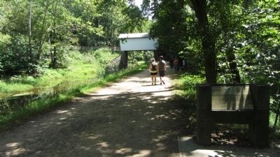
Location. 38° 59.625′ N, 77° 14.737′ W. Marker is in Potomac, Maryland, in Montgomery County. Marker can be reached from MacArthur Blvd, 1.2 miles west of Falls Road (Route 189). Marker is on the Chesapeake and Ohio Canal towpath, about a half mile south of the Great Falls Tavern, and just north of the stop-lock described on the marker. Touch for map. Marker is at or near this postal address: 11710 MacArthur Blvd, Potomac, MD 20854, Potomac MD 20854, United States of America. Touch for directions.
Other nearby markers. At least 8 other markers are within walking distance of this marker. Mather Gorge (approx. 0.2 miles away in Virginia); Great Falls Canal and Locks (approx. 0.3 miles away in Virginia); The Company House (approx. 0.3 miles away in Virginia); Fighting Floods (approx. 0.4 miles away); A Geologic Barrier (approx. 0.4 miles away); The Patowmack Canal (approx. 0.4 miles away in Virginia); Matildaville (approx. 0.4 miles away in Virginia); Olmsted Island (approx. 0.4 miles away). Touch for a list and map of all markers in Potomac.
Credits. This page was last revised on June 16, 2016. It was originally submitted on September 1, 2013, by F. Robby of Baltimore, Maryland. This page has been viewed 356 times since then and 13 times this year. Photos: 1, 2, 3, 4. submitted on September 1, 2013, by F. Robby of Baltimore, Maryland.


