Croom in Prince George's County, Maryland — The American Northeast (Mid-Atlantic)
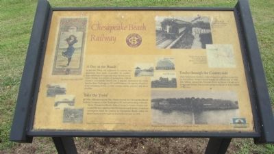
Chesapeake Beach Railway
In the late 1800s, the expansion of railroad and steamboat lines made it possible for middle-class Americans to being enjoying summer excursions. During the period of segregation, Calvert County's Chesapeake Beach was a popular destination for white families from Washington, DC and Baltimore. Chesapeake Beach offered swimming, hotels, a roller coaster, casino, carousel and dance pavilion.
Take the Train!
In 1896, railroad magnate Otto Mears formed the Chesapeake Beach Railway Company to link Washington, DC and surrounding communities to Chesapeake Beach. Prince George's County citizens wilcomed the new opportunities for business and leisure. Countless vacationers made the journey to Chesapeake Beach before the Great Depression brought an end to the railway in 1935.
Tracks through the Countryside
Many landowners deeded a right-of-way through their properties for the railway. Mount Calvert became an official stop in 1899. The railway crossed the Patuxent River at Mount Calvert on a swing-span bridge. You can still see the bridge pivot in the middle of the river.
Topics. This historical marker is listed in these topic lists: Entertainment • Railroads & Streetcars • Waterways & Vessels. A significant historical year for this entry is 1896.
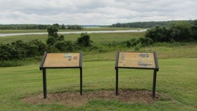
Location. 38° 47.07′ N, 76° 42.915′ W. Marker is in Croom, Maryland, in Prince George's County. Marker is on Mount Calvert Road, 0.4 miles east of McClure Road, on the right when traveling east. Marker is in Mount Calvert Historical and Archaeological Park, about 100 feet south of the parking area. Touch for map. Marker is in this post office area: Upper Marlboro MD 20772, United States of America. Touch for directions.
Other nearby markers. At least 8 other markers are within walking distance of this marker. The War of 1812 and the Chesapeake Flotilla (here, next to this marker); Explosive Scene (a few steps from this marker); African-Americans at Mount Calvert (within shouting distance of this marker); Mount Calvert Manor (within shouting distance of this marker); Mount Calvert Federal Period Plantation House (within shouting distance of this marker); Mount Calvert, Early Town (about 400 feet away, measured in a direct line); Billingsley's Point (about 400 feet away); Woodland Indians (about 400 feet away). Touch for a list and map of all markers in Croom.
Credits. This page was last revised on June 16, 2016. It was originally submitted on September 1, 2013, by F. Robby of Baltimore, Maryland. This page has been viewed 564 times since then and 16 times this year. Photos: 1, 2. submitted on September 1, 2013, by F. Robby of Baltimore, Maryland.

