Raven Rock in Hunterdon County, New Jersey — The American Northeast (Mid-Atlantic)
Lumberville - Ravenrock Toll-Supported Pedestrian Bridge
Rededication May 2013
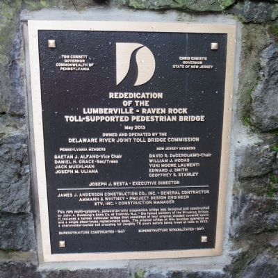
Inscription.
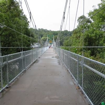
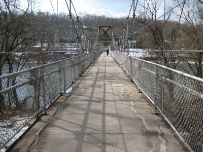
This rare multi-catenary, pedestrian only suspension bridge was designed and constructed by John A. Roebling's Sons Co. of Trenton, N.J. - the famed builders of the Brooklyn Bridge. It replaced a former vehicular bridge that consisted of four original wooden covered spans and a single steel truss replacement span. The original bridge at this location operated as a shareholder-owned toll crossing for 75 years before being freed of tolls in 1932.
Superstructure constructed - 1947
Superstructure rehabilitated - 2013
Erected 2013 by Delaware River Joint Toll Bridge Commission.
Topics. This historical marker is listed in this topic list: Bridges & Viaducts. A significant historical year for this entry is 1932.
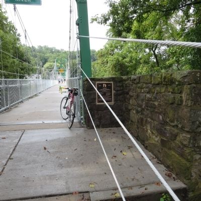
Location. 40° 24.478′ N, 75° 2.229′ W. Marker is in Raven Rock, New Jersey, in Hunterdon County. Marker can be reached from New Jersey Route 29, on the right when traveling south. Marker in located on the New Jersey side of the bridge on Bull's Island. Touch for map. Marker is in this post office area: Lumberville PA 18933, United States of America. Touch for directions.
Other nearby markers. At least 8 other markers are within 2 miles of this marker, measured as the crow flies. Martin Johnson Heade (about 400 feet away, measured in a direct line in Pennsylvania); Delaware Canal / Pennsylvania Canal (about 500 feet away in Pennsylvania); Delaware & Raritan Canal (approx. 0.2 miles away); Uranium Ore (approx. ¼ mile away); Saxtonville Tavern (approx. 0.4 miles away); Rosemont - Raven Rock Bridge (approx. 1.2 miles away); Carversville Historic District (approx. 1½ miles away in Pennsylvania); Farm of Lloyd B. Wescott (approx. 2 miles away). Touch for a list and map of all markers in Raven Rock.
Credits. This page was last revised on June 16, 2016. It was originally submitted on September 2, 2013, by Alan Edelson of Union Twsp., New Jersey. This page has been viewed 481 times since then and 18 times this year. Photos: 1, 2, 3, 4. submitted on September 2, 2013, by Alan Edelson of Union Twsp., New Jersey. • Bill Pfingsten was the editor who published this page.


