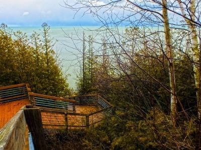
Near Harbor Beach in Huron County, Michigan — The American Midwest (Great Lakes)
"White Rock": The History, Oral Traditions, and Tales
Inscription.
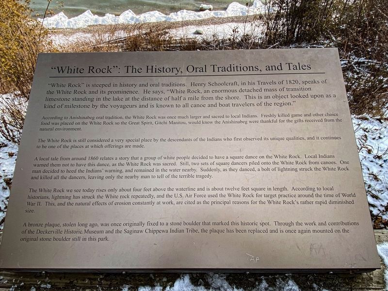
"White Rock" is steeped in history and oral traditions. Henry Schoolcraft, in his Travels of 1820, speaks of the White Rock and its prominence. He says, "White Rock, an enormous detached mass of transition limestone standing in the lake at the distance of half a mile from the shore. This is an object looked upon as a kind of milestone by the voyageurs and is known to all canoe and boat travelers of the region."
According to Anishinabeg oral tradition, the White Rock was once much larger and sacred to local Indians. Freshly killed game and other choice food was placed on the White Rock so the Great Spirit, Gitchi Manitou, would know the Anishinabeg were thankful for the gifts received from the natural environment.
The White Rock is still considered a very special place by the descendants of the Indians who first observed its unique qualities, and it continues to be one of the places at which offerings are made.
A local tale from around 1860 relates a story that a group of white people decided to have a square dance on the White Rock. Local Indians warned them not to have this dance, as the White Rock was sacred. Still, two sets of square dancers piled onto the White Rock from canoes. One man decided to heed the Indians' warning, and remained in the water nearby. Suddenly, as they danced, a bolt of lightning struck the White Rock and killed all the dancers, leaving only the nearby man to tell of the terrible tragedy.
The White Rock we see today rises only about four feet above the waterline and is about twelve feet square in length. According to local historians, lightning has struck the White rock repeatedly, and the U.S. Air Force used the White Rock for target practice around the time of World War II. This, and the natural effects of erosion constantly at work, are cited as the principal reasons for the White Rock's rather rapid diminished size.
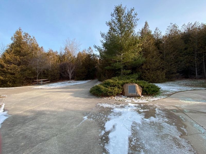
A bronze plaque, stolen long ago, was once originally fixed to a stone boulder that marked this historic spot. Through the work and contributions of the Deckerville Historic Museum and the Saginaw Chippewa Indian Tribe, the plaque has been replaced and is once again mounted on the original stone boulder still in this park.
Topics. This historical marker is listed in these topic lists: Environment • Native Americans. A significant historical year for this entry is 1820.
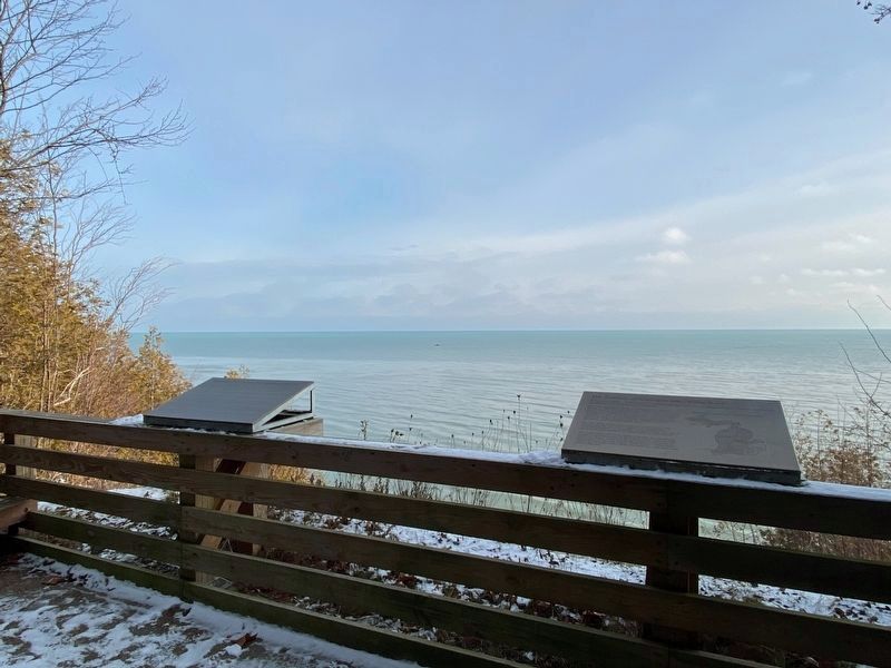
Location. 43° 43.039′ N, 82° 36.586′ W. Marker is near Harbor Beach, Michigan, in Huron County. Marker can be reached from S. Lakeshore Road (State Highway 25) 0.2 miles south of Atwater Road, on the left when traveling south. Marker is located in White Rock Roadside Park. Touch for map. Marker is in this post office area: Harbor Beach MI 48441, United States of America. Touch for directions.
Other nearby markers. At least 8
other markers are within 9 miles of this marker, measured as the crow flies. The Territory of Michigan and "White Rock" (here, next to this marker); White Rock (within shouting distance of this marker); White Rock School (approx. 0.6 miles away); Vicki Keith (approx. 8.8 miles away); Harbor Beach Harbor of Refuge (approx. 8.8 miles away); Judge James H. Lincoln (approx. 8.8 miles away); Harbor Beach Lighthouse (approx. 8.8 miles away); Shipwrecks of the Harbor Beach Area (approx. 8.9 miles away). Touch for a list and map of all markers in Harbor Beach.
Credits. This page was last revised on January 5, 2023. It was originally submitted on September 28, 2013, by Duane Hall of Abilene, Texas. This page has been viewed 1,047 times since then and 41 times this year. Photos: 1, 2. submitted on January 1, 2023, by J.T. Lambrou of New Boston, Michigan. 3. submitted on September 28, 2013, by Duane Hall of Abilene, Texas. 4. submitted on January 1, 2023, by J.T. Lambrou of New Boston, Michigan. 5. submitted on March 18, 2016, by John Vavrek of Oak Park, Michigan.
