Holbrook in Navajo County, Arizona — The American Mountains (Southwest)
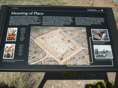
Meaning of Place
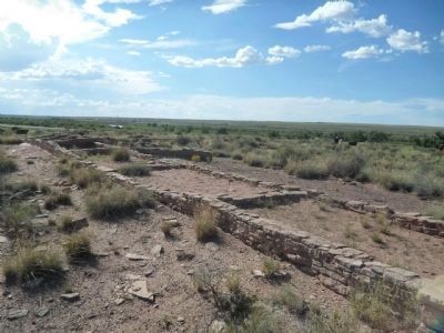
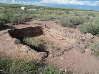
For archeologists, sites such as Puerco Pueblo allow us to learn about the daily lives of prehistoric people. From information obtained at over 1000 sites in the park, we know that people lived here for over 13,000 years. In archeology, a “persistent place” is an area on the landscape that is the focus of repeated human activity through time. Puerco Pueblo, as well as Petrified Forest, is a persistent place.
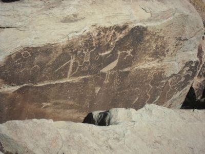
For contemporary indigenous groups, sites like Puerco Pueblo are a part of their heritage and oral traditions. Even after people moved away from the villages here, their descendants return to pray, leave offerings, and interact with departed ancestors. Today these communities see these prehistoric sites as “the footprints of the ancestors.”
Erected by Petrified National Forest Services.
Topics. This historical marker is listed in this topic list: Native Americans.
Location. 34° 58.487′ N, 109° 47.65′ W. Marker is in Holbrook, Arizona, in Navajo County. Marker is on Petrified Forest Road, on the right when traveling north. Touch for map. Marker is in this post office area: Holbrook AZ 86025, United States of America. Touch for directions.
Other nearby markers. At least 8 other markers are within walking distance of this marker. Whispers from the Past (within shouting distance of this marker); Life in the Village (within shouting distance of this marker); A Canvas for Ideas (within shouting distance of this marker); Summer Solstice Marker (within shouting distance of this marker); Village on the Rio Puerco (about 400 feet away, measured in a direct line); Santa Fe Railroad (about 700 feet away); Newspaper Rock (approx. 0.9 miles away); Newspaper Rock Petroglyphs Archeological District (approx. 0.9 miles away). Touch for a list and map of all markers in Holbrook.
Credits. This page was last revised on June 16, 2016. It was originally submitted on September 29, 2013, by Denise Boose of Tehachapi, California. This page has been viewed 524 times since then and 28 times this year. Photos: 1, 2, 3, 4, 5, 6. submitted on September 29, 2013, by Denise Boose of Tehachapi, California. • Syd Whittle was the editor who published this page.
