Nashville in Davidson County, Tennessee — The American South (East South Central)
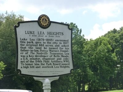
Luke Lea Heights
5 miles ahead on Scenic Drive
Erected 1990 by The Historical Commission of Metropolitan Nashville and Davidson County. (Marker Number 86.)
Topics and series. This memorial is listed in these topic lists: Charity & Public Work • War, World I. In addition, it is included in the Tennessee, The Historical Commission of Metropolitan Nashville and Davidson County series list. A significant historical year for this entry is 1927.
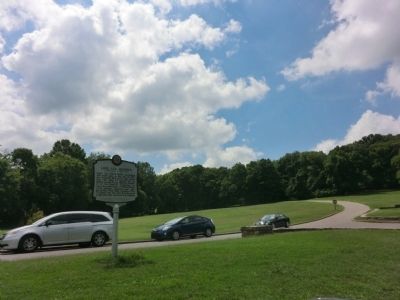
Location. 36° 4.917′ N, 86° 52.067′ W. Marker is in Nashville, Tennessee, in Davidson County. Memorial is on Belle Meade Boulevard at Warner Park Entrance. Touch for map. Marker is in this post office area: Nashville TN 37221, United States of America. Touch for directions.
Other nearby markers. At least 8 other markers are within 2 miles of this marker, measured as the crow flies. In Memory of Colonel Luke Lea (within shouting distance of this marker); Percy Warner Park (about 500 feet away, measured in a direct line); Warner Parks (about 500 feet away); West Meade (approx. 1.2 miles away); Belle Meade Golf Links Historic District (approx. 1.4 miles away); Parmer School (approx. 1˝ miles away); In 1807 (approx. 1.6 miles away); Mausoleum (approx. 1.7 miles away). Touch for a list and map of all markers in Nashville.
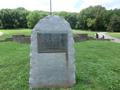
Photographed By Don Morfe, July 25, 2013
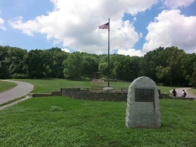
3. Luke Lea Heights Marker
In memory of the Colonel Luke Lea 1879-1949 So that posterity might enjoy the benefits of a public park preserved in its natural beauty. In 1927 Colonel Lea gave the original tract of 868 acres of this land to the city of Nashville requesting that the park bear the name of his father-in-law, the late Percy Warner.
Erected by officers who served under Colonel Lea in the114th Field Artillery during the First World War.
Credits. This page was last revised on June 16, 2016. It was originally submitted on October 4, 2013, by Don Morfe of Baltimore, Maryland. This page has been viewed 860 times since then and 75 times this year. Photos: 1, 2, 3, 4, 5. submitted on October 4, 2013, by Don Morfe of Baltimore, Maryland. • Al Wolf was the editor who published this page.
