Stryker in Williams County, Ohio — The American Midwest (Great Lakes)
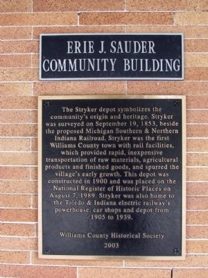
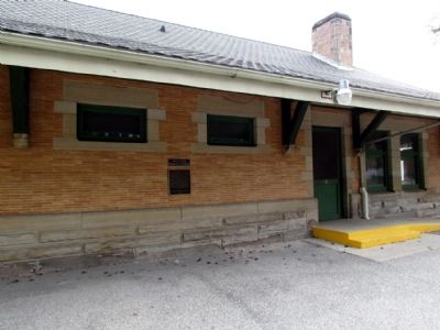
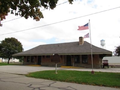
Stryker Depot
Erected 2003 by Williams County Historical Society.
Topics. This historical marker is listed in these topic lists: Railroads & Streetcars • Settlements & Settlers. A significant historical month for this entry is September 1779.
Location. 41° 30.17′ N, 84° 25.008′ W. Marker is in Stryker, Ohio, in Williams County. Marker is at the intersection of N. Depot Street and Pleasant Street, on the left when traveling west on N. Depot Street. Touch for map. Marker is at or near this postal address: 203 N Depot Street, Stryker OH 43557, United States of America. Touch for directions.
Other nearby markers. At least 8 other markers are within walking distance of this marker. Stryker's Railroad Heritage (a few steps from this marker); Stryker (a few steps from this marker); Grisier Funeral Home Veterans Memorial (about 800 feet away, measured in a direct line); September 11, 2001 (approx. 0.2 miles away); a different marker also named Stryker (approx. half a mile away); a different marker also named Stryker (approx. half a mile away); a different marker also named Stryker (approx. 0.6 miles away); William James Knight / Andrews Raiders (approx. 0.6 miles away). Touch for a list and map of all markers in Stryker.
Also see . . . Stryker's Railroad Heritage. A brochure from the Stryker Area Heritage Council. (Submitted on October 5, 2013.)
Credits. This page was last revised on June 16, 2016. It was originally submitted on October 5, 2013, by Duane Hall of Abilene, Texas. This page has been viewed 518 times since then and 18 times this year. Photos: 1, 2, 3. submitted on October 5, 2013, by Duane Hall of Abilene, Texas.


