Near Tiburon in Marin County, California — The American West (Pacific Coastal)
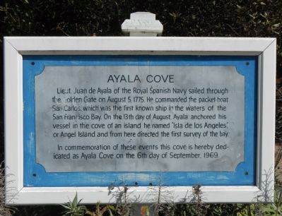
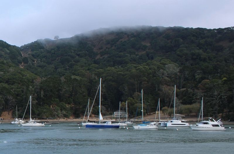
Ayala Cove
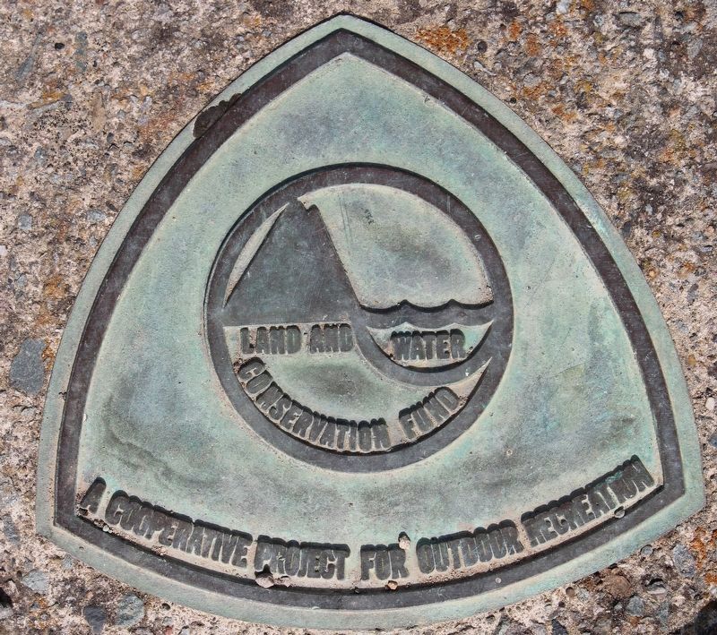
In commemoration of these events this cove is hereby dedicated as Ayala Cove on the 6th day of September, 1969.
Erected 1969.
Topics. This historical marker is listed in these topic lists: Exploration • Science & Medicine • War, Cold. A significant historical month for this entry is September 1969.
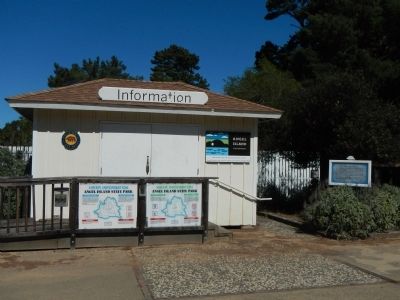
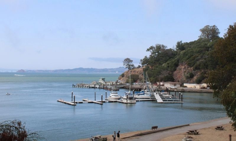
Location. 37° 52.117′ N, 122° 26.076′ W. Marker is near Tiburon, California, in Marin County. This marker is located on Angel Island near the ferry landing. Touch for map. Marker is in this post office area: Belvedere Tiburon CA 94920, United States of America. Touch for directions.
Other nearby markers. At least 8 other markers are within walking distance of this marker. Angel Island (about 700 feet away, measured in a direct line); a different marker also named Angel Island (approx. 0.2 miles away); Isolating Disease (approx. 0.2 miles away); a different marker also named Ayala Cove (approx. 0.2 miles away); Medical Officers at Home (approx. 0.2 miles away); Protecting the Public Health (approx. ¼ mile away); Melting Glaciers + Rising Seas = (approx. 0.3 miles away); Immigration Station Staff (approx. 0.4 miles away). Touch for a list and map of all markers in Tiburon.
More about this marker. Angel Island is only accessible by ferry.
Also see . . . Ayala Cove - Angel Island Conservancy. Following a practice then common among Catholic explorers naming sites for the religious feast days nearest to the time of discovery, Father Vicente, the chaplain of the San Carlos, christened the little island Isla de Los Angeles. (Submitted on October 10, 2013, by Barry Swackhamer of Brentwood, California.)
Credits. This page was last revised on August 29, 2022. It was originally submitted on October 10, 2013, by Barry Swackhamer of Brentwood, California. This page has been viewed 530 times since then and 19 times this year. Photos: 1, 2, 3. submitted on October 10, 2013, by Barry Swackhamer of Brentwood, California. 4, 5, 6. submitted on August 14, 2022, by Joseph Alvarado of Livermore, California. • Syd Whittle was the editor who published this page.
