Near Tiburon in Marin County, California — The American West (Pacific Coastal)
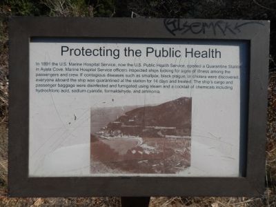
Protecting the Public Health
Topics. This historical marker is listed in this topic list: Science & Medicine. A significant historical year for this entry is 1891.
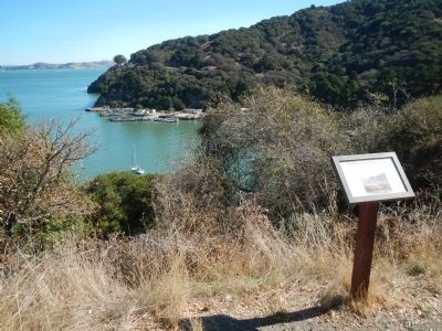
Location. 37° 51.99′ N, 122° 26.305′ W. Marker is near Tiburon, California, in Marin County. Marker is on Perimeter Road, on the right when traveling north. Perimeter Road is a 5 mile, mostly paved, walking/bicycle path that goes around Angel Island. Angel Island State Park is accessed by ferry from Tiburon or San Francisco. Touch for map. Marker is in this post office area: Belvedere Tiburon CA 94920, United States of America. Touch for directions.
Other nearby markers. At least 8 other markers are within walking distance of this marker. Melting Glaciers + Rising Seas = (about 400 feet away, measured in a direct line); Medical Officers at Home (about 700 feet away); Angel Island (approx. 0.2 miles away); Isolating Disease (approx. 0.2 miles away); Ayala Cove (approx. 0.2 miles away); a different marker also named Angel Island (approx. 0.2 miles away); a different marker also named Ayala Cove (approx. ¼ mile away); Camp Reynolds (approx. 0.4 miles away). Touch for a list and map of all markers in Tiburon.
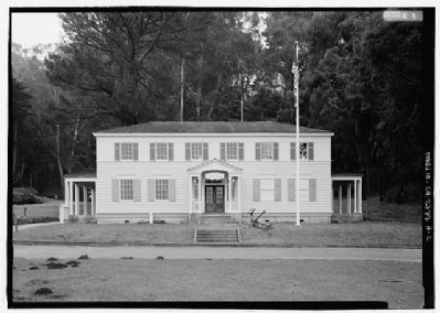
Also see . . . Quarantine Station - Angel Island Conservancy. The first ship to have her passengers quarantined on the island was the steamship China on April 27, 1891: there was smallpox on board. (Submitted on October 12, 2013, by Barry Swackhamer of Brentwood, California.)
Credits. This page was last revised on June 16, 2016. It was originally submitted on October 12, 2013, by Barry Swackhamer of Brentwood, California. This page has been viewed 424 times since then and 9 times this year. Photos: 1, 2. submitted on October 12, 2013, by Barry Swackhamer of Brentwood, California. 3. submitted on October 18, 2013. • Syd Whittle was the editor who published this page.


