Downtown in Tucson in Pima County, Arizona — The American Mountains (Southwest)
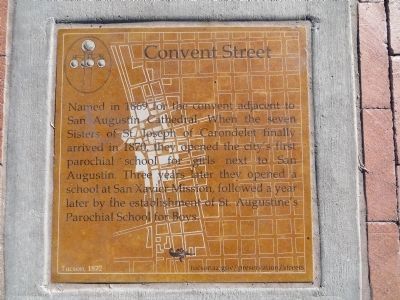
Convent Street
Inscription.
Named in 1869 for the convent located adjacent to San Augustín Cathedral. When the seven Sisters of St. Joseph of Carondelet finally arrived in 1870, they opened the city’s first parochial school for girls next to San Augustín. Three years later they opened a school at San Xavier Mission, followed a year later by the establishment of the St. Augustine’s Parochial School for Boys.
Erected 2013 by City of Tucson Historic Preservation Office.
Topics. This historical marker is listed in these topic lists: Churches & Religion • Education • Roads & Vehicles • Women. A significant historical year for this entry is 1869.
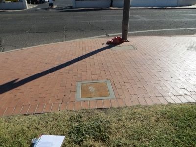
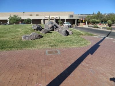
Location. Marker has been reported missing. It was located near 32° 13.117′ N, 110° 58.351′ W. Marker was in Tucson, Arizona, in Pima County. It was in Downtown. Marker was at the intersection of South Church Avenue and West McCormick Street, on the right when traveling south on South Church Avenue. Touch for map. Marker was in this post office area: Tucson AZ 85701, United States of America. Touch for directions.
Other nearby markers. At least 8 other markers are within walking distance of this location. McCormick Street (within shouting distance of this marker); Ochoa Street (about 400 feet away, measured in a direct line); Corral Street (about 500 feet away); Cushing Street (about 600 feet away); Jackson Street (about 600 feet away); Sosa-Carillo-Frémont House (about 700 feet away); Stone Avenue (about 700 feet away); Charles O. Brown House (approx. 0.2 miles away). Touch for a list and map of all markers in Tucson.
Additional commentary.
1. Tucson Historic Street Names
Convent Street no longer exists but followed today's Church Avenue between West Broadway Boulevard and West McCormick Street.
— Submitted October 21, 2013, by Bill Kirchner of Tucson, Arizona.
Credits. This page was last revised on November 19, 2021. It was originally submitted on October 21, 2013, by Bill Kirchner of Tucson, Arizona. This page has been viewed 544 times since then and 10 times this year. Last updated on November 18, 2021, by Robert Holmstrom of Rocklin, California. Photos: 1, 2, 3. submitted on October 21, 2013, by Bill Kirchner of Tucson, Arizona. • Bill Pfingsten was the editor who published this page.


