Cherokee in Colbert County, Alabama — The American South (East South Central)
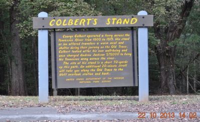
Colbert's Stand
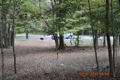
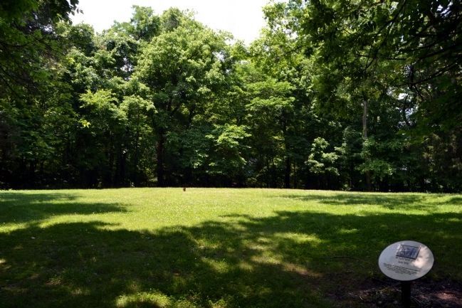
This site of his stand is a short 50-yards up this path. An additional 20- minutes stroll will take you along the Old Trace to the bluff overlook station and back.
Erected by National Park Service.
Topics and series. This historical marker is listed in this topic list: Waterways & Vessels. In addition, it is included in the Former U.S. Presidents: #07 Andrew Jackson, and the Natchez Trace series lists. A significant historical year for this entry is 1800.
Location. 34° 50.199′ N, 87° 56.694′ W. Marker is in Cherokee, Alabama, in Colbert County. Marker is on Park Road, 0.4 miles north of Natchez Trace Parkway, on the left when traveling east. Marker is located in the Natchez Trace Parkway Colbert Ferry Park. Touch for map. Marker is in this post office area: Cherokee AL 35616, United States of America. Touch for directions.
Other nearby markers. At least 8 other markers are within walking distance of this marker. George Colbert Memorial (within shouting distance of this marker); A Chickasaw Planter (within shouting distance of this marker); Chickasaw Hospitality (about 300 feet away, measured in a direct line); Safe Crossing (approx. 0.2 miles away); Colbert Ferry (approx. 0.2 miles away); Welcome! (approx. 0.2 miles away); Wet, Wild, and Wonderful (approx. 0.2 miles away); Trace Travelers (approx. ¼ mile away). Touch for a list and map of all markers in Cherokee.
Also see . . . Colbert Ferry Natchez Trace. "Shrewd, talented and wicked" thus a traveling preacher characterized George Colbert, the half-Scot half-Chickasaw chief. (Submitted on October 24, 2013, by Sandra Hughes Tidwell of Killen, Alabama, USA.)
Photographed By Sandra Hughes, October 22, 2013
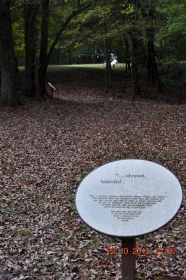
3. "... Shrewd, Talented."
Thus, a traveling preacher characterized George Colbert, the half-Scot,
half-Chickasaw Chief, who operated a stand (inn) here between 1801
and 1820. But, for more than 30 years, he helped negotiate with
the U.S. for Chickasaw rights as the tide of settlement
advanced from the East, and his successful farm
showed his people the way of their future.
This short path will take you
to the site of his stand and
along a remnant of the
old Trace that it
served.
Photographed By Sandra Hughes, October 22, 2013
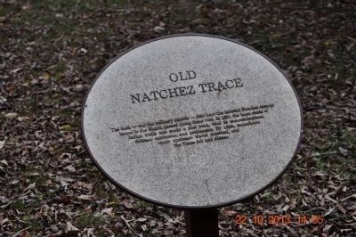
4. Old Natchez Trace
The mail - the military muscle - that kept the isolated Natchez district
bound to the Union, passed along these ruts. In 1801 the loose chain of
Indian trails was made a post road, vital to communications,
defense, commence, and settlement. By 1890, steamboats
made upstream travel practical, and
the Trace fell into disuse.
Photographed By Sandra Hughes, October 22, 2013
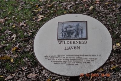
5. Wilderness Haven
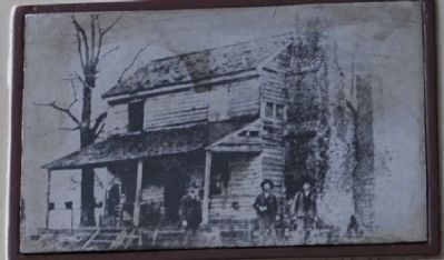
After a venison supper, one guest at Colbert's Stand spent the night in an
outbuilding with"...not less than 50 Indians.
Here, and at about 20 other stands along the Trace, "Kaintuck"
riverboat men, money-laden businessmen, Indians, and
outlaws shared a spot of fellowship on-a-long,
hazardous road.
Photographed By Sandra Hughes, October 22, 2013
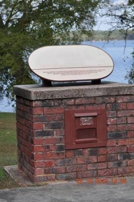
7. Colbert's Stand Marker
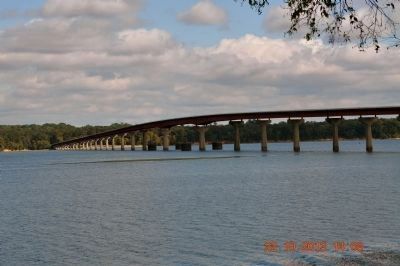
This scene would have occurred far below the surface of the lake you see now. From 1802 to 1819, George Colbert operated a ferry across the quarter-mile breadth of the powerful Tennessee River. The ferry carried mail, militia, settlers, Indians, and renegades over what was considered by many travelers as the worst natural obstacle on the Trace.
Credits. This page was last revised on June 16, 2016. It was originally submitted on October 23, 2013, by Sandra Hughes Tidwell of Killen, Alabama, USA. This page has been viewed 1,483 times since then and 111 times this year. Photos: 1, 2, 3, 4, 5. submitted on October 23, 2013, by Sandra Hughes Tidwell of Killen, Alabama, USA. 6. submitted on October 24, 2013, by Sandra Hughes Tidwell of Killen, Alabama, USA. 7, 8. submitted on October 23, 2013, by Sandra Hughes Tidwell of Killen, Alabama, USA. 9. submitted on June 25, 2015, by Duane Hall of Abilene, Texas. • Bernard Fisher was the editor who published this page.
