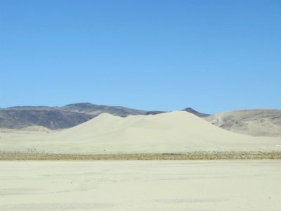
Near Fallon in Churchill County, Nevada — The American Mountains (Southwest)
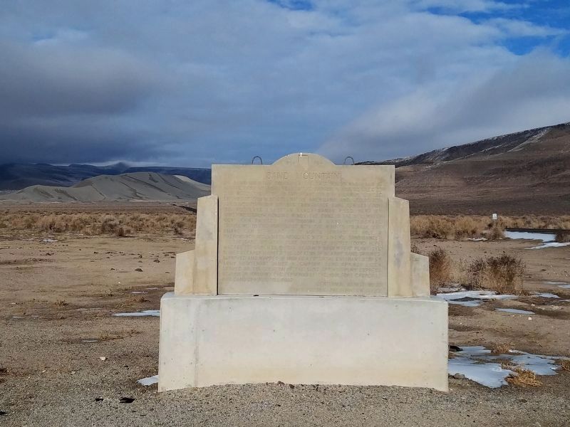
Sand Mountain
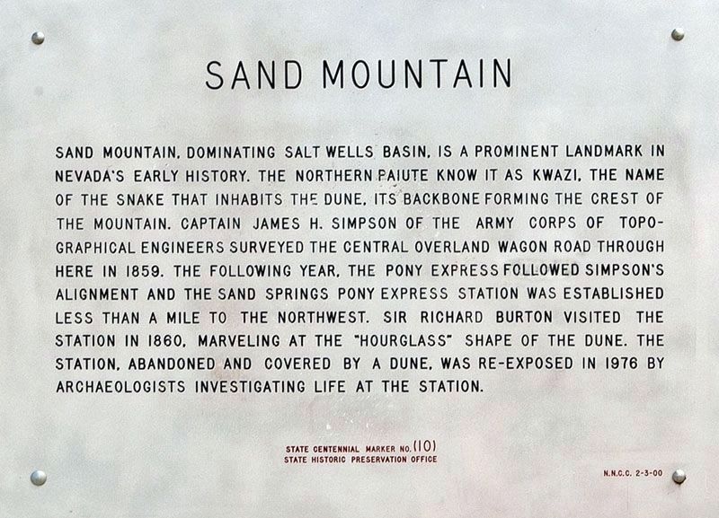
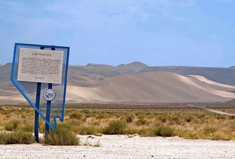
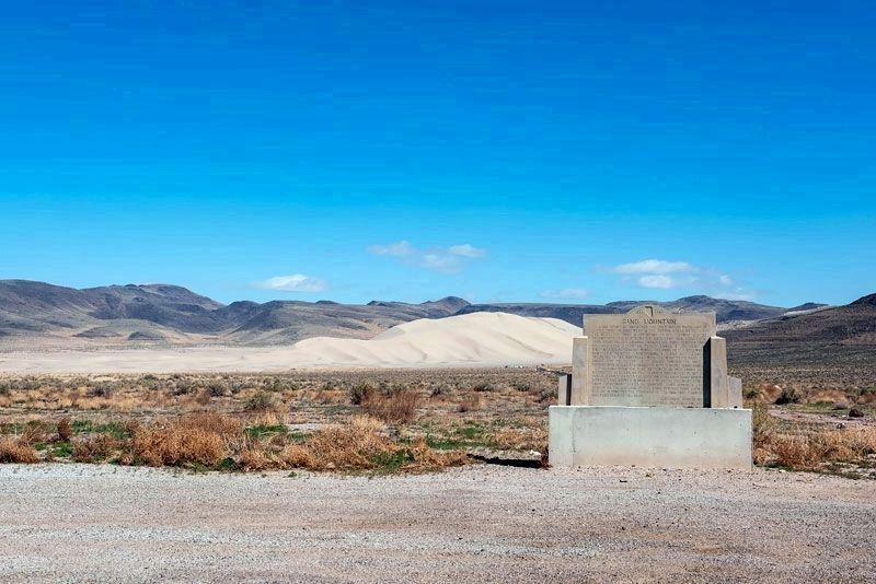
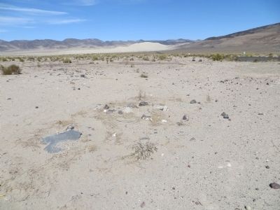
Sand Mountain, dominating the Salt Wells Basin, is a prominent landmark in Nevada's early history. The Northern Piute know it as Kwazi, the name of the snake that inhabits the dune, its backbone forming the crest of the mountain. Captain James H. Simpson of the Army Corp of Topographical Engineers surveyed the Central Overland Wagon Road through here in 1859. The following year, the Pony Express followed Simpson's alignment and the Sand Springs Pony Express Station was established less than a mile to the northwest. Sir Richard Burton visited the station in 1860, marveling at the "hourglass" shape of the dune. The station, abandoned and covered by a dune, was re-exposed in 1976 by archaeologists investigating life at the station.
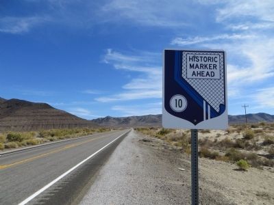
Erected by State Historic Preservation Office. (Marker Number 10.)
Topics. This historical marker is listed in these topic lists: Environment • Roads & Vehicles. A significant historical year for this entry is 1859.
Location. 39° 16.508′ N, 118° 24.803′ W. Marker is near Fallon, Nevada, in Churchill County. Marker is on U.S. 50 at milepost 46.5, on the right when traveling west. Touch for map. Marker is in this post office area: Fallon NV 89406, United States of America. Touch for directions.
Other nearby markers. At least 6 other markers are within 11 miles of this marker, measured as the crow flies. Swift Steeds Tie East to West (approx. 1.1 miles away); What Are Those Rocks Out There? (approx. 1.1 miles away); Sand Mountain Pony Express Station (approx. 1.1 miles away); Helicopter Antisubmarine Squadron Four Crash Site (approx. 3.1 miles away); Pony Express Route (approx. 8.7 miles away); Fairview (approx. 10.6 miles away).
Credits. This page was last revised on November 2, 2020. It was originally submitted on October 23, 2013, by Bill Kirchner of Tucson, Arizona. This page has been viewed 758 times since then and 35 times this year. Photos: 1, 2, 3. submitted on November 1, 2020, by Alvis Hendley of San Francisco, California. 4. submitted on December 5, 2018, by Teri Ligon of Carson City, Nevada. 5, 6, 7. submitted on October 23, 2013, by Bill Kirchner of Tucson, Arizona. 8. submitted on December 5, 2018, by Teri Ligon of Carson City, Nevada. 9. submitted on October 23, 2013, by Bill Kirchner of Tucson, Arizona. • Syd Whittle was the editor who published this page.
