El Presidio in Tucson in Pima County, Arizona — The American Mountains (Southwest)
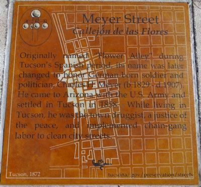
Meyer Street
Callejón de las Flores
Inscription.
Originally named “Flower Alley” during Tucson’s Spanish period, its name was later changed to honor German-born soldier and politician, Charles H. Meyer (b.1829- d.1907). He came to Arizona with the US Army and settled in Tucson in 1858. While living in Tucson, he was the town druggist, a justice of the peace, and implemented chain gang labor to clean city streets.
Erected 2013 by City of Tucson Historic Preservation Office.
Topics. This historical marker is listed in this topic list: Roads & Vehicles. A significant historical year for this entry is 1858.
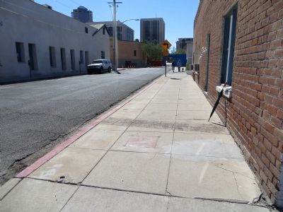
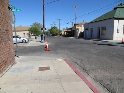
Location. 32° 13.461′ N, 110° 58.483′ W. Marker is in Tucson, Arizona, in Pima County. It is in El Presidio. Marker is at the intersection of North Meyer Avenue and West Washington Street, on the right when traveling south on North Meyer Avenue. Touch for map. Marker is at or near this postal address: 102 W Washington St, Tucson AZ 85701, United States of America. Touch for directions.
Other nearby markers. At least 8 other markers are within walking distance of this marker. Leonardo Romero House (within shouting distance of this marker); La Casa Cordova (within shouting distance of this marker); The Stork's Nest (within shouting distance of this marker); Siqueiros-Jácome House (within shouting distance of this marker); Council Street (about 300 feet away, measured in a direct line); Court Street (about 300 feet away); Plaza Militar (about 300 feet away); Presidio Wall (about 300 feet away). Touch for a list and map of all markers in Tucson.
Credits. This page was last revised on June 16, 2016. It was originally submitted on October 24, 2013, by Bill Kirchner of Tucson, Arizona. This page has been viewed 804 times since then and 47 times this year. Photos: 1, 2, 3. submitted on October 24, 2013, by Bill Kirchner of Tucson, Arizona. • Andrew Ruppenstein was the editor who published this page.


