Darnestown in Montgomery County, Maryland — The American Northeast (Mid-Atlantic)
Darnestown: A Strategic Point of Defense
The Civil War
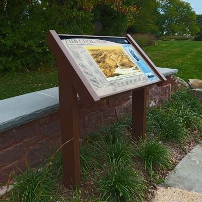
Inscription.
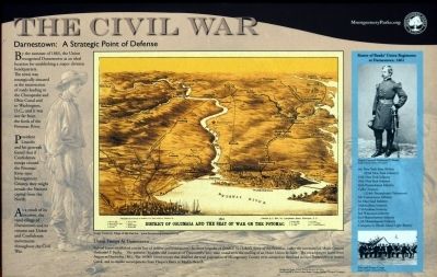
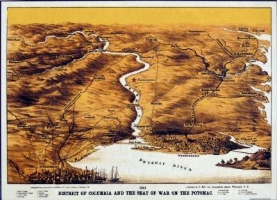
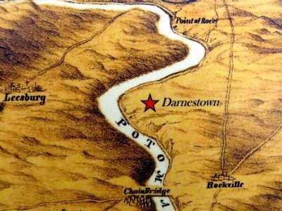
By the summer of 1861, the Union recognized Darnestown as an ideal location for establishing a major division headquarters. The town was strategically situated at the intersection of roads leading to the Chesapeake and Ohio Canal and to Washington, D. C., and it was not far from the fords of the Potomac River.
President Lincoln and his generals feared that if Confederate troops crossed the Potomac River into Montgomery County, they might invade the Nation's capital from the north.
As a result of its rural valley of Darnestown and its citizens saw Union and Confederate movements throughout the Civil War.
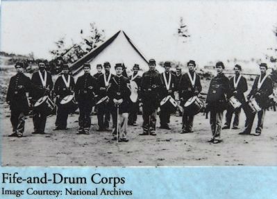
Union Troops at Darnestown
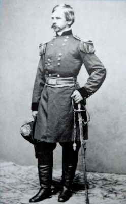
Federal forces established a main line of defense and headquarters for three brigades of General McClellan's Army of the Potomac, under the command of Major General Nathaniel P. Banks. The patience, loyalties, and resources of Darnestown were soon tested with the coming of an entire Union division. The encampment lasted from August to December 1861. The 18,000 Union troops that doubled the total population of Montgomery County were camped on farmland around Darnestown at Seneca Creek, and in smaller encampments form Harpers Ferry to Muddy Branch.
Roster of Banks' Union Regiments at Darnestown, 1861
9th New York State Militia (83rd New York Infantry)
19th New York Infantry
28th New York Infantry
46th Pennsylvania Infantry
Collis' Zouaves (114th Pennsylvania Volunteers)
5th Connecticut Infantry
1st Maryland Infantry
16th Indiana Infantry
27th Indiana Infantry
3rd Wisconsin Infantry
2nd Massachusetts Infantry
13th Massachusetts Infantry
Company A, Rhode Island Light Battery
Erected 2012 by Montogomery Parks.
Topics and series. This historical marker is listed in this topic list: War, US Civil. In addition, it is included in the Chesapeake and Ohio (C&O) Canal, and the Former U.S. Presidents: #16 Abraham Lincoln series lists. A significant historical month for this entry is December 1861.
Location. 39° 6.213′ N, 77° 17.448′ W. Marker is in Darnestown, Maryland, in Montgomery County. Marker can be reached from the intersection of Darnestown Road (Maryland Route 28) and Seneca Road (Route 112), on the right when traveling west. Located in Darnestown Square Heritage Park. Touch for map. Marker is at or near this postal address: 14029 Darnestown Road, Gaithersburg MD 20878, United States of America. Touch for directions.
Other nearby markers. At least 8 other markers are within walking distance of this marker. Civil War Troops & Darnestown Residents (here, next to this marker); The Civil War in Darnestown (a few steps from this marker); The Signal Corps and Wartime Communications
(a few steps from this marker); Disease, Death, and Medical Discoveries During the Civil War (a few steps from this marker); Clues to the Past: Oral History and Archaeology (within shouting distance of this marker); A 19th Century Crossroads (within shouting distance of this marker); Andrew Small Academy (within shouting distance of this marker); The Origins of Darnestown (within shouting distance of this marker). Touch for a list and map of all markers in Darnestown.
Credits. This page was last revised on June 16, 2016. It was originally submitted on October 26, 2013, by Allen C. Browne of Silver Spring, Maryland. This page has been viewed 596 times since then and 16 times this year. Last updated on October 26, 2013, by Allen C. Browne of Silver Spring, Maryland. Photos: 1, 2, 3, 4, 5, 6. submitted on October 26, 2013, by Allen C. Browne of Silver Spring, Maryland. • Bill Pfingsten was the editor who published this page.
