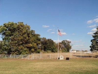
Paulsboro in Gloucester County, New Jersey — The American Northeast (Mid-Atlantic)
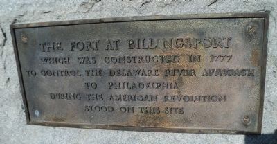
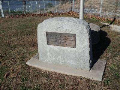
The Fort at Billingsport
which was constructed in 1777
to control the Delaware River approach
to Philadelphia
during the American Revolution
stood on this site.
Topics. This historical marker is listed in these topic lists: Forts and Castles • War, US Revolutionary. A significant historical year for this entry is 1777.
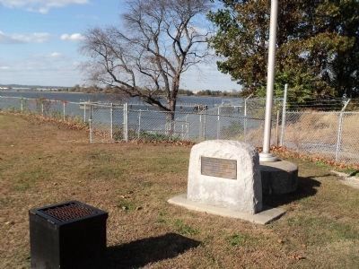
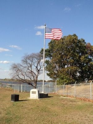
Location. 39° 50.868′ N, 75° 15.054′ W. Marker is in Paulsboro, New Jersey, in Gloucester County. Marker can be reached from the intersection of Clonmell Road and N Delaware Street, on the right when traveling south. Marker is located on the banks of the Delaware River, in Fort Billings Park. Touch for map. Marker is in this post office area: Paulsboro NJ 08066, United States of America. Touch for directions.
Other nearby markers. At least 8 other markers are within 3 miles of this marker, measured as the crow flies. Dennis Leary & William Barney (a few steps from this marker); Billingsport, New Jersey (within shouting distance of this marker); Fort Billingsport (approx. 0.2 miles away); Tinicum Rear Range Lighthouse (approx. 0.6 miles away); C. A. Nothnagle Log House (approx. 2.2 miles away); Tinicum (approx. 2.6 miles away in Pennsylvania); Tinicum Township (approx. 2.6 miles away in Pennsylvania); Artillery Shed (approx. 2.7 miles away in Pennsylvania). Touch for a list and map of all markers in Paulsboro.
Credits. This page was last revised on June 16, 2016. It was originally submitted on October 27, 2013, by Bill Coughlin of Woodland Park, New Jersey. This page has been viewed 509 times since then and 31 times this year. Photos: 1, 2, 3, 4, 5. submitted on October 27, 2013, by Bill Coughlin of Woodland Park, New Jersey.
