Oroville in Butte County, California — The American West (Pacific Coastal)
Pioneer Miners Of Thompson Flat District
Inscription.
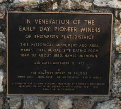
Early Day Pioneer Miners
Of Thompson Flat District
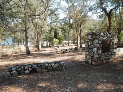
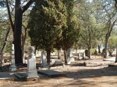
This historical monument and area marks their burial site dating from 1849 to about 1880. Names unknown.
Dedicated November 12, 1972
by
The Cemetery Board of Trustees
Tommy Cole Anita Cole Lillian Duensing Evelyn Joslyn
A contribution to this memorial was made by Thomas H. Richards, Sr. in memory of his father Thomas Henry Richards 1864 – 1909 buried in this cemetery
Erected 1972 by The Cemetery Board of Trustees.
Topics. This historical marker is listed in this topic list: Cemeteries & Burial Sites. A significant historical date for this entry is November 12, 1848.
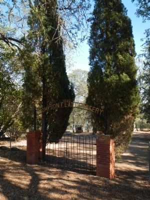
Location. 39° 32.047′ N, 121° 32.809′ W. Marker is in Oroville, California, in Butte County. Marker can be reached from Thompson Flat Cemetery Road. Touch for map. Marker is at or near this postal address: 79 Thompson Flat Cemetery Road, Oroville CA 95965, United States of America. Touch for directions.
Other nearby markers. At least 8 other markers are within 2 miles of this marker, measured as the crow flies. Pioneer Cemetery (within shouting distance of this marker); Long's Bar (approx. 1.3 miles away); Site of the First Flour Mill (approx. 1.3 miles away); Site of 1st Sawmill (approx. 1.3 miles away); Site of Boehme & Heep Saloon (approx. 1˝ miles away); Site of First Oroville Bank (approx. 1˝ miles away); Morris Ravine School (approx. 1˝ miles away); First Banking Institution in Ophir (approx. 1˝ miles away). Touch for a list and map of all markers in Oroville.
Credits. This page was last revised on June 16, 2016. It was originally submitted on October 28, 2013, by Barry Swackhamer of Brentwood, California. This page has been viewed 594 times since then and 31 times this year. Photos: 1, 2, 3, 4. submitted on October 28, 2013, by Barry Swackhamer of Brentwood, California. • Syd Whittle was the editor who published this page.


