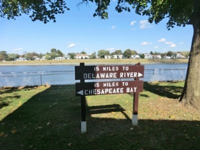
Chesapeake City in Cecil County, Maryland — The American Northeast (Mid-Atlantic)
Chesapeake and Delaware Canal Tablet
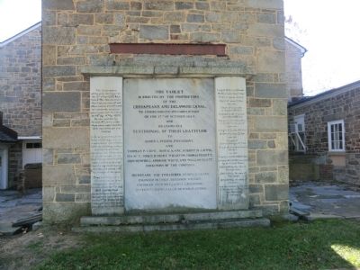
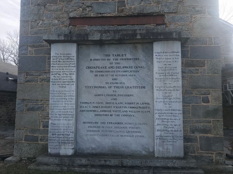
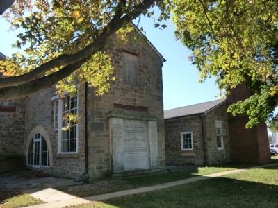
This tablet is erected by the proprietors of the Chesapeake and Delaware Canal, to commemorate its completion on the 17th of October, 1829; and to stand as a testimonial of their gratitude to James C. Fisher, President, and Thomas P. Cope, John K. Kane, Robert M. Lewis, Isaac C. Jones, Robert Wharton, Thomas Fassitt, John Hemphill, Ambrose White, and William Platt, Directors of the Company. Secretary and Treasurer, Henry D. Gilpin. Engineer in Chief, Benjamin Wright. Engineer Resident, Daniel Livermore. Superintendent, Caleb Newbold Junior.
The Construction of this canal was begun on the 15th of April, 1824, by Silas E. Weir, the chairman of the first committee of work whose zealous and efficient services to the company terminated with his life on the 14th day of May 1828. He was succeded [sic] by Robert M. Lewis under whose active supervision, the work was continued and finished. In its progress through the Eastern level, large sections of embankment sunk 100 feet below the adjoining surface and the bottom of the excavation rose 10 feet above its natural position. On the Deep Cut more than 375,000 cubic yards of earth slipped from the regulated slopes of the sides and passed into the chamber of the canal.
These and many other difficulties having been overcome, the water was introduced on the 4th of July 1829 and the final accomplishment of this great National work was celebrated on the 17th of October of the same year at which time the navigation was opened.
Length of the canal, 13 3/8 miles. Width at water line 66 feet. Width at bottom 36 feet. Depth of water 10 feet.---Depth of excavation at Summit 76 ½ feet. Extreme width of section at surface, 366 feet. Excavation from Deep Cut 3,500,000 cubic yards.---Length of Locks, 100 feet. Width of Locks, 22 feet.---Length of Summit Bridge, 247 feet. Height above bottom of canal, 90 feet. ---Total Cost, 2,250,000 Dollars of which $450,000 was paid by the United States, $100,000 by the state of Pennsylvania, $50,000 by the state of Maryland, $25.000 by the state of Delaware, and the residue by Citizens of Pennsylvania, Maryland and Delaware.
Erected by The Proprietors of the Chesapeake and Delaware Canal.
Topics and series. This historical marker is listed in this topic list: Waterways & Vessels. In addition, it is included in the Chesapeake & Delaware (C&D) Canal series list. A significant historical date for this entry is April 15, 1824.
Location. 39° 31.65′ N, 75° 48.402′ W. Marker is in Chesapeake City, Maryland, in Cecil County. Marker is on Bethel Road. Touch for map. Marker is in this post office area: Chesapeake City MD 21915, United States of America. Touch for directions.
Other nearby markers. At least 8 other markers are within walking distance of this marker. C&D Canal Museum (a few steps from this marker); A Historic Hub of Commerce (approx. ¼ mile away); Byway Destinations / Chesapeake City (approx. ¼ mile away); Beck's Landing (approx. ¼ mile away); From Creek to Canal (approx. ¼ mile away); Pell Gardens (approx. ¼ mile away); Long Bridge (approx. ¼ mile away); The Bayard House (approx. ¼ mile away). Touch for a list and map of all markers in Chesapeake City.
Credits. This page was last revised on January 8, 2024. It was originally submitted on October 29, 2013, by Don Morfe of Baltimore, Maryland. This page has been viewed 591 times since then and 25 times this year. Last updated on February 5, 2020, by Carl Gordon Moore Jr. of North East, Maryland. Photos: 1. submitted on October 29, 2013, by Don Morfe of Baltimore, Maryland. 2. submitted on January 10, 2022, by Adam Margolis of Mission Viejo, California. 3, 4, 5. submitted on October 29, 2013, by Don Morfe of Baltimore, Maryland. • Bill Pfingsten was the editor who published this page.
