Near Castella in Shasta County, California — The American West (Pacific Coastal)
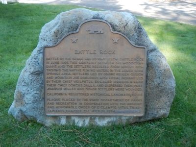
Battle Rock
Erected 1984 by State Deptartment of Parks and Recreation and E Clampus Vitus, Trinitarianus Chapter 62. (Marker Number 116.)
Topics and series. This historical marker is listed in these topic lists: Native Americans • Wars, US Indian. In addition, it is included in the California Historical Landmarks, and the E Clampus Vitus series lists. A significant historical month for this entry is June 1855.
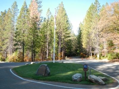
Location. 41° 8.893′ N, 122° 19.286′ W. Marker is near Castella, California, in Shasta County. Marker is on Castle Creek Road, on the left when traveling west. Touch for map. Marker is at or near this postal address: 20101 Castle Creek Road, Castella CA 96017, United States of America. Touch for directions.
Other nearby markers. At least 8 other markers are within 7 miles of this marker, measured as the crow flies. A Relic from the Old Logging Days (within shouting distance of this marker); Dunsmuir World War Memorial (approx. 5.1 miles away); Upper Soda Springs (approx. 5.6 miles away); The Alexander Dunsmuir Fountain (approx. 5.8 miles away); Locomotive 1727 (approx. 5.8 miles away); Babe Ruth Played Here (approx. 5.8 miles away); Southern Hotel and Stage Station (approx. 6 miles away); Sims Bridge: A CCC First (approx. 6.2 miles away). Touch for a list and map of all markers in Castella.
More about this marker. This markers is located in Castle Crags State Park near the entrance station.
Also see . . .
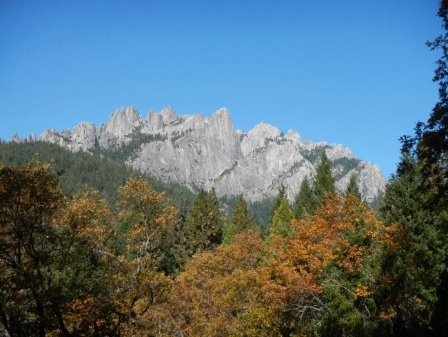
1. Castle Crags was the Site of the 1855 Battle. Active NoCal entry: It was the scene of a bloody battle in 1855 between gold miners and settlers that turned into a war that spread to the western coast. It was the last known battle between American Indians and whites during which Indians used bows and arrows, spears and atlatls as their only weapons against the whites. The battle was also known as the Battle of Castle Rocks and the Battle of the Crags. (Submitted on November 4, 2013.)
2. Castle Crags. Wikipedia entry. (Submitted on September 29, 2020, by Larry Gertner of New York, New York.)
Credits. This page was last revised on January 21, 2021. It was originally submitted on October 31, 2013, by Barry Swackhamer of Brentwood, California. This page has been viewed 1,199 times since then and 70 times this year. Photos: 1, 2, 3. submitted on October 31, 2013, by Barry Swackhamer of Brentwood, California. • Syd Whittle was the editor who published this page.


