Lutherstadt Wittenberg in Wittenberg, Saxony-Anhalt, Germany — Central Europe
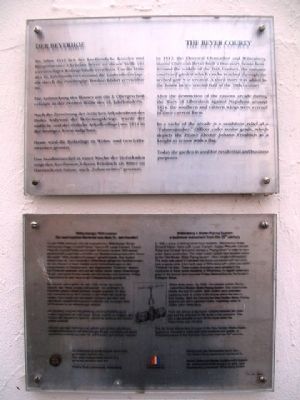
The Beyer Courty
Der Beyerhof
After the destruction of the eastern arcade during the Wars of Liberation against Napoleon around 1814, the southern and eastern wings were erected in their current form.
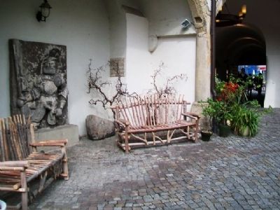
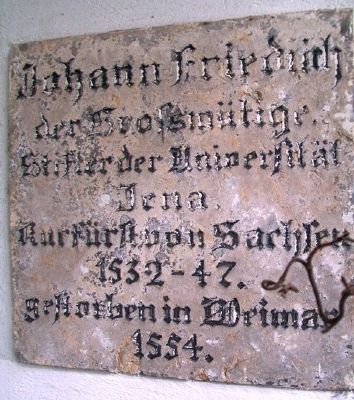
In a niche of the arcade is a sandstone relief of a "Fahnenjunker," Officer cadet senior grade, which depicts the Prince Elector Johann Friedrich as a knight in armor with a flag.
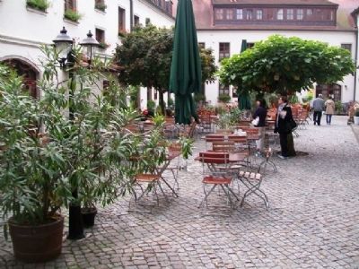
Today the garden is used for residential and business purposes.
——————————
Die Aufstockung des Hauses um ein 3. Obergeschoß erfolgte in der zweiten Hälfte des 18.Jahrhunderts.
Nach der Zerstörung der östlichen Arkadenfront des Hofes während der Befreiungskriege, wurde der südliche und der östliche Arkadenflügel um 1814 in der heutigen Form aufgebaut.
Heute wird die Hofanlage zu Wohn- und Geschäftszwecken genutzt.
Das Sandsteinrelief in einer Nische der Hofarkaden zeigt den Kurfürsten Johann Friedrich als Ritter im Harnisch mit Fahne auch "Fahnenritter" genannt.
Topics. This historical marker is listed in this topic list: Notable Buildings. A significant historical year for this entry is 1512.
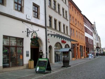
Location. 51° 51.962′ N, 12° 38.638′ E. Marker is in Lutherstadt Wittenberg, Sachsen-Anhalt (Saxony-Anhalt), in Wittenberg. Marker is at the intersection of Markt and Collegienstraße, on the right when traveling east on Markt. Marker is near the southeast corner of the Market Square (Marktplatz). Touch for map. Marker is at or near this postal address: Markt 6, Lutherstadt Wittenberg ST 06886, Germany. Touch for directions.
Other nearby markers. At least 8 other markers are within walking distance of this marker. Wittenberg's Water-Piping System (here, next to this marker); Cranach-Hof (within shouting distance of this marker); Martin Luther (within shouting distance of this marker); Philipp Melanchthon (within shouting distance of this marker); Corpus Christi Chapel / Fronleichnamskapelle (within shouting distance of this marker); Mains Water Well on the Market Square
(about 90 meters away, measured in a direct line); Lucas Cranach (about 90 meters away); a different marker also named Cranach-Hof (about 90 meters away). Touch for a list and map of all markers in Lutherstadt Wittenberg.
Also see . . . Christian Beyer. Wikipedia entry (Submitted on April 6, 2023, by Larry Gertner of New York, New York.)
Credits. This page was last revised on January 8, 2024. It was originally submitted on November 1, 2013, by William Fischer, Jr. of Scranton, Pennsylvania. This page has been viewed 443 times since then and 3 times this year. Photos: 1, 2, 3, 4, 5. submitted on November 2, 2013, by William Fischer, Jr. of Scranton, Pennsylvania.
