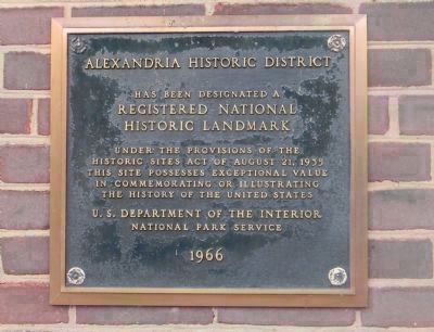
Old Town in Alexandria, Virginia — The American South (Mid-Atlantic)
Alexandria, Virginia
Market Square
— Alexandria Historic District —
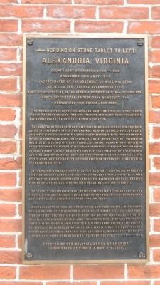
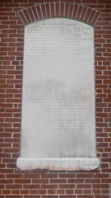
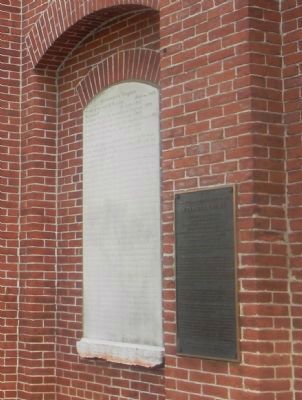
Wording on stone tablet to left:
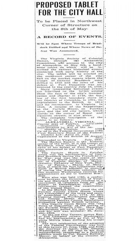
County seat of Fairfax 1742-1800
Organized 13th July, 1749
Incorporated by the Assembly of Virginia 1779
Ceded to the Federal Government 1789
First boundary stone of the Federal District laid 15th of April 1791
Capitulated to the British 38th of August 1814
Retroceded to Virginia July 1846
The Market Square is the historic center of the town, in it the troops of Braddock were drilled 1755 and news of his defeat at Ft. Duquesne was announced to the country 16th of July 1755.
The Carlyle House in Fairfax Street was the headquarters of Gen. Braddock during the French and Indian War, and was the scene of the Council of Royal Governors Dinwiddie of Virginia, Shirley of Massachusetts, Delancy of New York, Morris of Pennsylvania and Sharp of Maryland, at which the first suggestion was made by British officials in council, of taxing the American colonies. On this occasion Washington received his appointment as aide to General Braddock. Here also was held in 1785 a conference between the governors of Virginia and Maryland which resulted in a convention of delegates from all the states at Philadelphia in 1787. This convention framed the Constitution of the United States.
In the Market Square stood the old Fairfax County courthouse where the freeholders of the town and county assembled 18th of July 1774. At this meeting George Washington presided, and George Mason drew up the celebrated Fairfax County Resolutions protesting against British tyranny.
The county courthouse was the point of beginning of the survey of the Federal District 1791. Here George Washington polled his last vote 1799, and his will was probated 20th of January 1800.
At the Old City Tavern, corner of Royal and Cameron Sts., Washington had his headquarters as Colonel of VA. Militia when drilling his troops, 1754. The first celebration of the adoption of the Federal Constitution was held at this tavern 27th of June 1788 and from the doorway 16th of April 1789 George Washington, on his way to his first inauguration responded to a farewell address made by Mayor, Colonel Dennis Ramsey on behalf of the citizens of Alexandria. From this hostelry General Washington issued his last military order when receiving the Independent Blues, November 1799.
in the State of Virginia, May 8th, 1914.
Erected 1914 by Colonial Dames of Virginia.
Topics and series. This memorial is listed in these topic lists: Colonial Era • Settlements & Settlers • War, French and Indian • War, US Revolutionary. In addition, it is included in the Former U.S. Presidents: #01 George Washington, and the Original Federal Boundary Stones series lists. A significant historical date for this entry is January 20, 1800.
Location. 38° 48.339′ N, 77° 2.585′ W. Marker is in Alexandria, Virginia. It is in Old Town. Memorial is on Cameron Street east of North Royal Street, on the right when traveling east. Touch for map. Marker is at or near this postal address: 301 King St, Alexandria VA 22314, United States of America. Touch for directions.
Other nearby markers. At least 8 other markers are within walking distance of this marker. Restored Government of Virginia (a few steps from this marker); Alexandria Washington Lodge (a few steps from this marker); Gadsby's Tavern (a few steps from this marker); a different marker also named Gadsby’s Tavern (within shouting distance of this marker); Hall, Bank & Tavern (within shouting distance of this marker); The Front Door of Gadsby's Tavern (within shouting distance of this marker); The Gadsby's Tavern Ice Well
(within shouting distance of this marker); First Lot Sold at Auction (within shouting distance of this marker). Touch for a list and map of all markers in Alexandria.
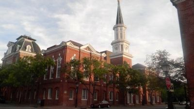
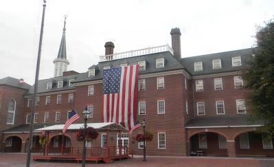
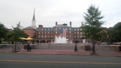
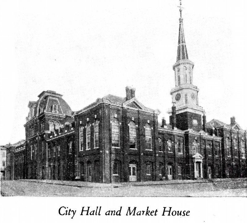
Also see . . . Alexandria City Hall. ... clock tower designed by Benjamin Henry Latrobe (1817) ... rebuilt 1871, architect, Adolf Cluss ... headquarters of the Alexandria-Washington Masonic Lodge until 1945 ... home to Alexandria court facilities until 1965 when a new Court House opened on King Street, and the court rooms, judicial chambers, ... and ancillary facilities were moved out of City Hall .... (Submitted on October 29, 2013, by Richard E. Miller of Oxon Hill, Maryland.)
Additional keywords. Alexander Henderson and George Mason of Virginia; Major Daniel of St. Thomas Jenifer; Mr. Chase and Mr. Stone of Maryland. Original Federal Boundary Stones Historical Markers; Boundary Markers
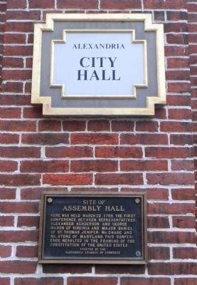
Photographed By Richard E. Miller, October 31, 2013
4. "Site of Assembly Hall" - marker at corner of North Fairfax and Cameron Streets
Erected by the
Alexandria Chamber of Commerce
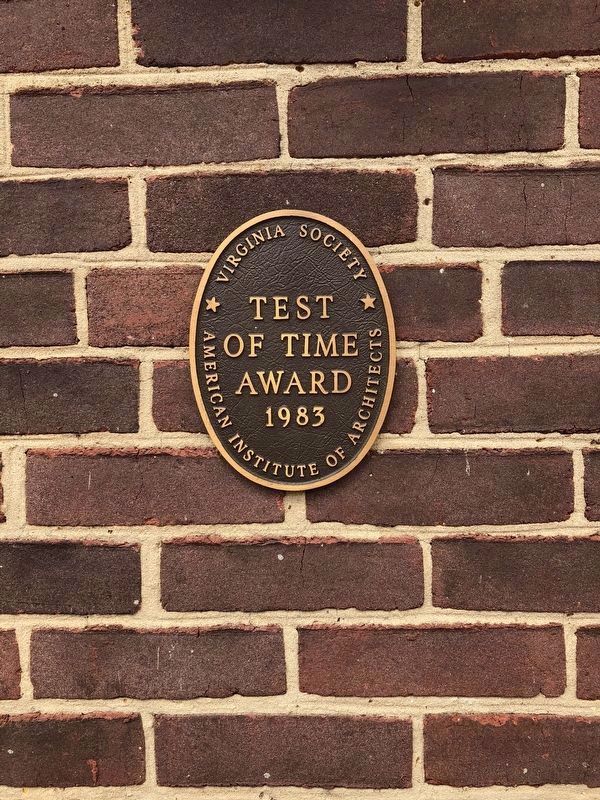
Photographed By Devry Becker Jones (CC0), March 30, 2018
11. Sign on the south side of City Hall
American Institute of Architects
Test
of Time
Award
1983
Credits. This page was last revised on January 28, 2023. It was originally submitted on October 23, 2013, by Richard E. Miller of Oxon Hill, Maryland. This page has been viewed 1,111 times since then and 50 times this year. Last updated on February 17, 2021, by Roberto Bernate of Arlington, Virginia. Photos: 1, 2, 3. submitted on October 23, 2013, by Richard E. Miller of Oxon Hill, Maryland. 4. submitted on November 3, 2013, by Richard E. Miller of Oxon Hill, Maryland. 5, 6, 7. submitted on October 24, 2013, by Richard E. Miller of Oxon Hill, Maryland. 8. submitted on February 16, 2021, by Roberto Bernate of Arlington, Virginia. 9. submitted on April 15, 2021, by Allen C. Browne of Silver Spring, Maryland. 10. submitted on October 24, 2013, by Richard E. Miller of Oxon Hill, Maryland. 11. submitted on April 1, 2018, by Devry Becker Jones of Washington, District of Columbia. • Bernard Fisher was the editor who published this page.
