Fort Mason in San Francisco City and County, California — The American West (Pacific Coastal)
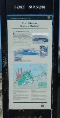
Fort Mason Historic District
U.S. Army Post (1864-1966)

Photographed By Barry Swackhamer, October 16, 2013
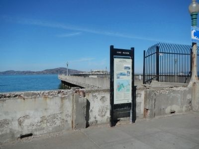
1. Fort Mason Historic District Marker
Captions: Though San Francisco had grown enormously by 1900. Fort Mason was isolated from the city’s bustle by undeveloped open space. (top right); General Dwight D. Eisenhower inspected Fort Mason in 1946. (center right); Guns were mounted at Fort Mason during the Civil War to guard the harbor and city. (center left).
Fort Mason was designated a National Historic Landmark on February 4, 1985.
Erected by Golden Gate National Recreation Area.
Topics and series. This historical marker is listed in this topic list: Forts and Castles. In addition, it is included in the National Historic Landmarks series list. A significant historical date for this entry is February 4, 1985.
Location. 37° 48.486′ N, 122° 25.605′ W. Marker is in San Francisco, California, in San Francisco City and County. It is in Fort Mason. Marker is at the intersection of San Francisco Bicycle Route 2 and Van Ness Avenue, on the right when traveling west on San Francisco Bicycle Route 2. Touch for map. Marker is in this post office area: San Francisco CA 94109, United States of America. Touch for directions.
Other nearby markers. At least 8 other markers are within walking distance of this marker. San Francisco Port of Embarkation (approx. 0.2 miles away); Tubbs Cordage Building (approx. 0.2 miles away); Brigantine Galilee (approx. 0.2 miles away); San Francisco Port of Embarkation (1932-1962) (approx. 0.2 miles away); a different marker also named Fort Mason Historic District (approx. 0.2 miles away); First Ship into San Francisco Bay (approx. ¼ mile away); Phillip Burton (approx. ¼ mile away); Steering the Ship... (approx. ¼ mile away). Touch for a list and map of all markers in San Francisco.
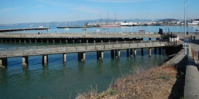
More about this marker. This marker is located near the entrance to the Aquatic Park Pier.
Credits. This page was last revised on February 7, 2023. It was originally submitted on November 6, 2013, by Barry Swackhamer of Brentwood, California. This page has been viewed 583 times since then and 19 times this year. Photos: 1, 2, 3. submitted on November 6, 2013, by Barry Swackhamer of Brentwood, California. • Syd Whittle was the editor who published this page.

